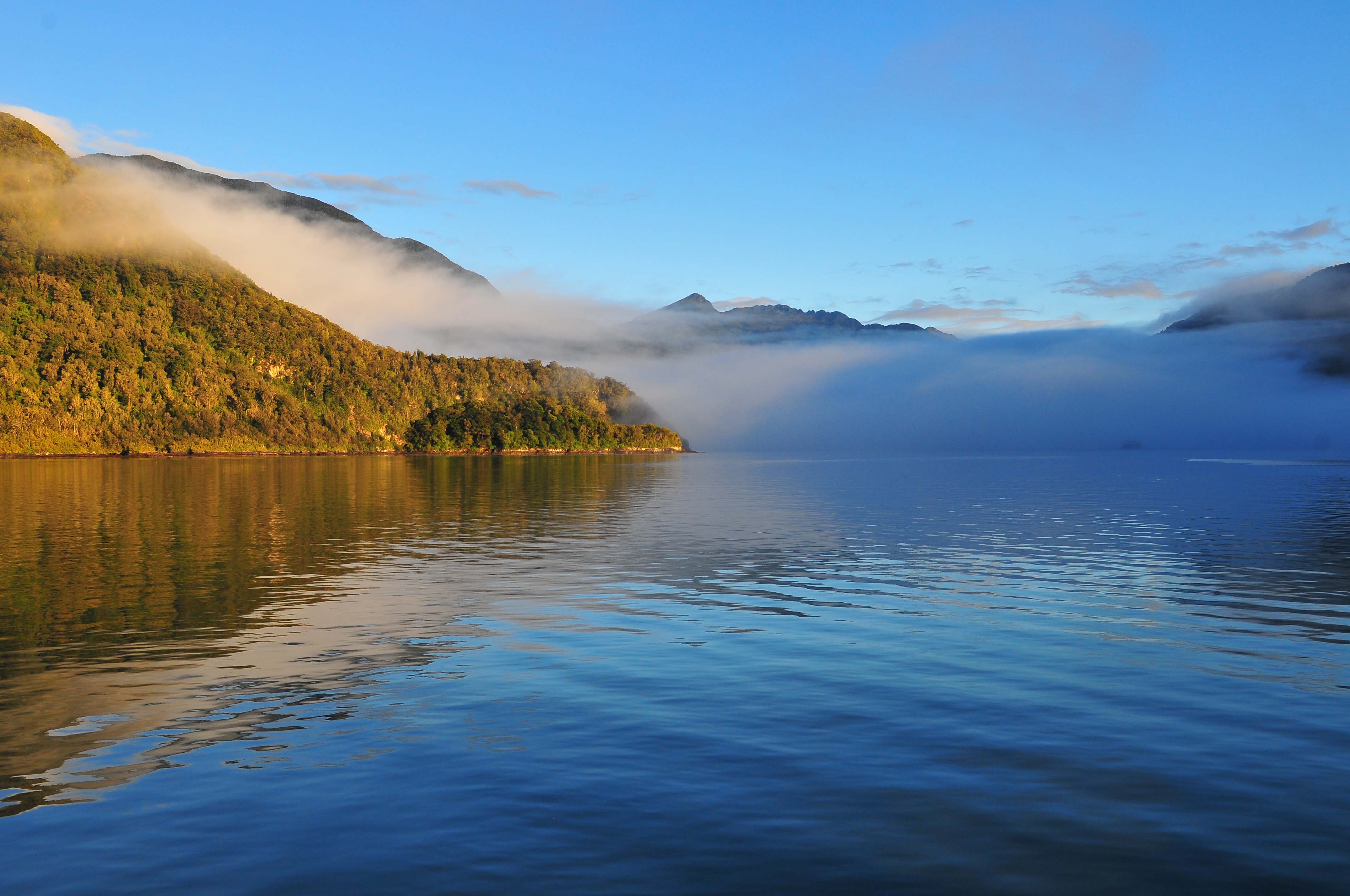
47 14.610S 167 37.105E – Disappointment Cove April 9 – 11
One of the attraction of Stewart Island is its isolation. Exploring untouched coast lines is one of the things that we love best about sailing and Stewart Island defiantly meets that criteria. It is an island of 775 sq. miles and according to the last census we could find, with only 450 permanent residents, almost all of those live in the only settlement of Oban. It would hardly be worth only owning a car since there are only twelve miles of roads but over 750 miles of coast line. Better have a boat, “eh”.
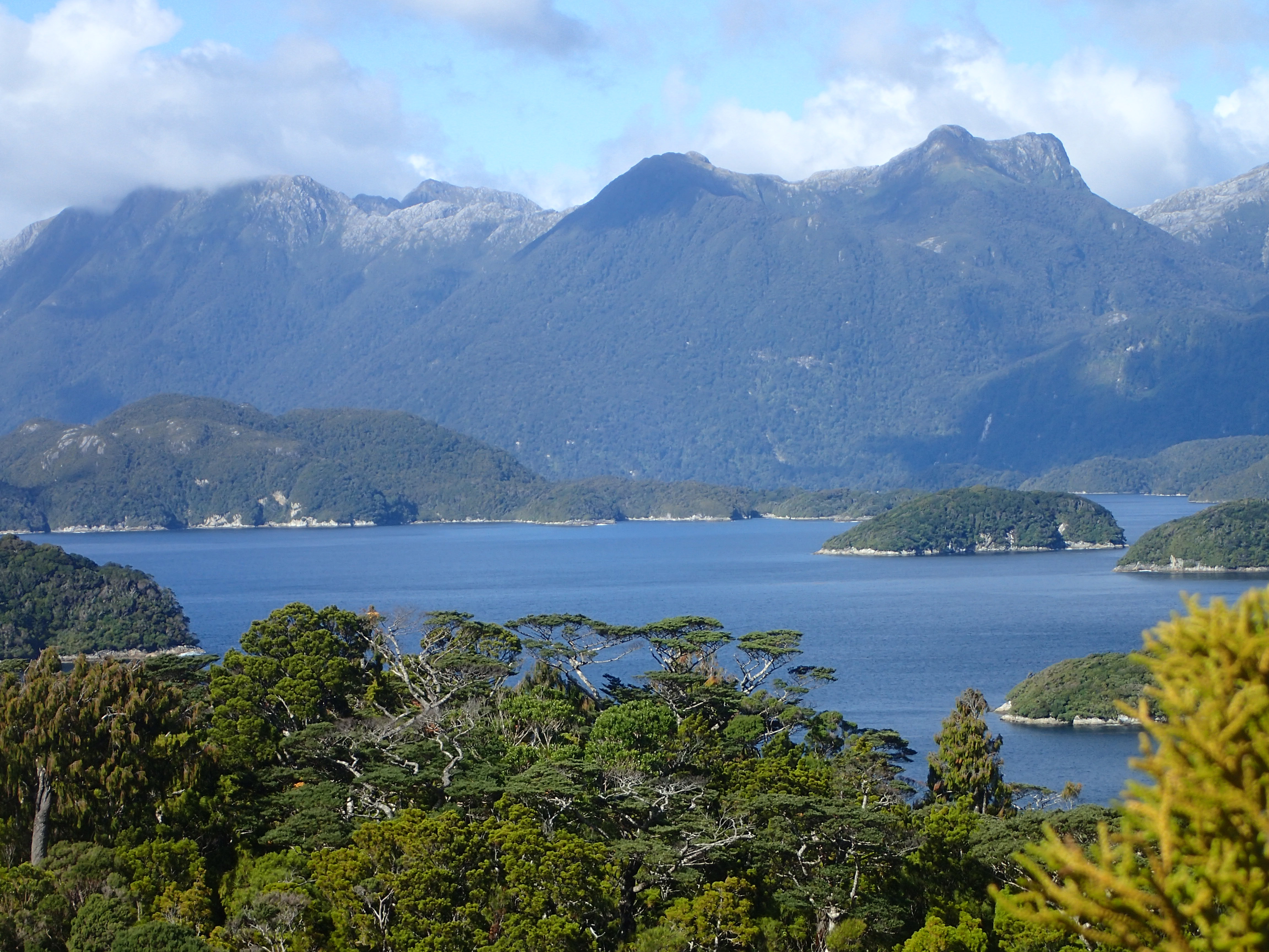
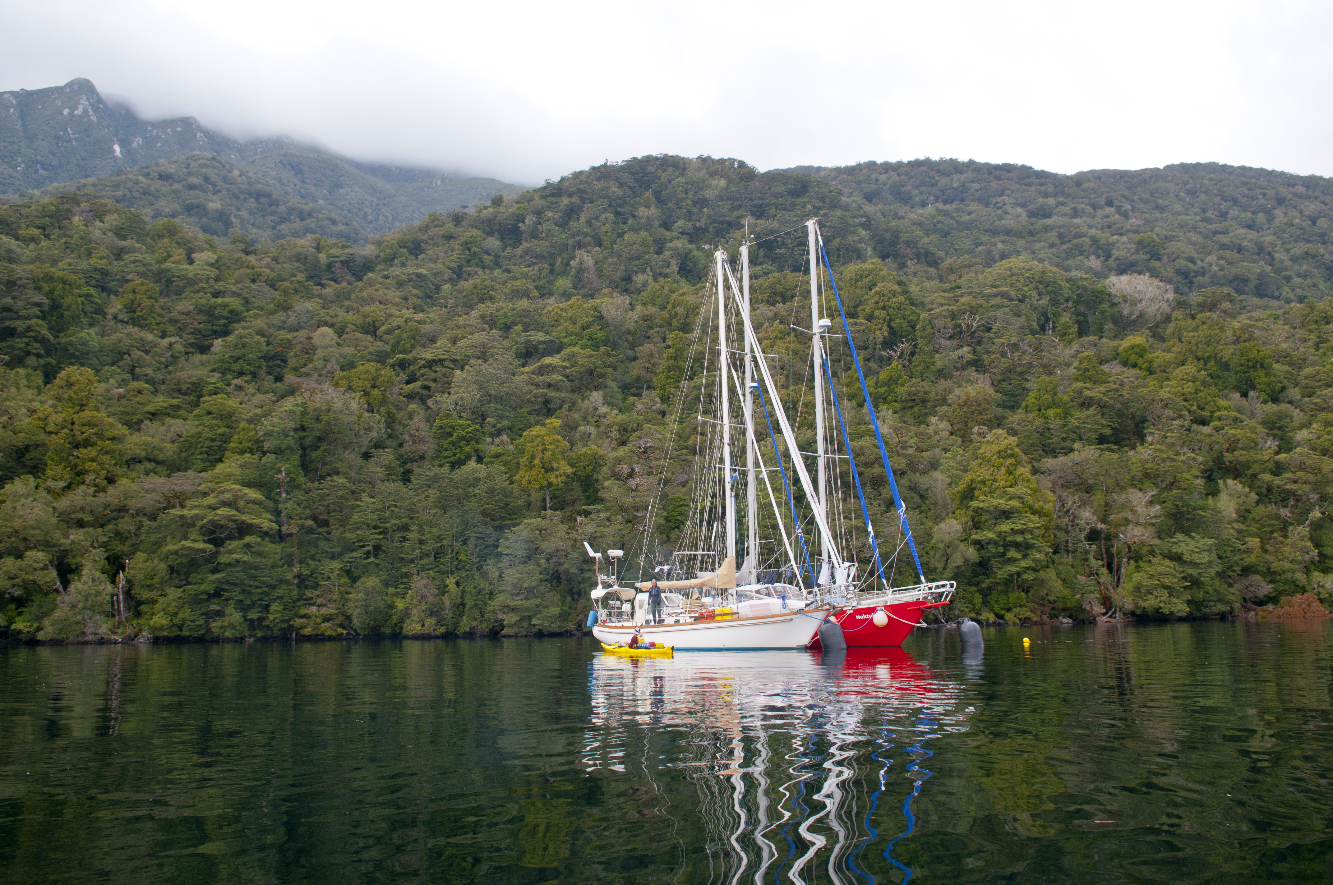
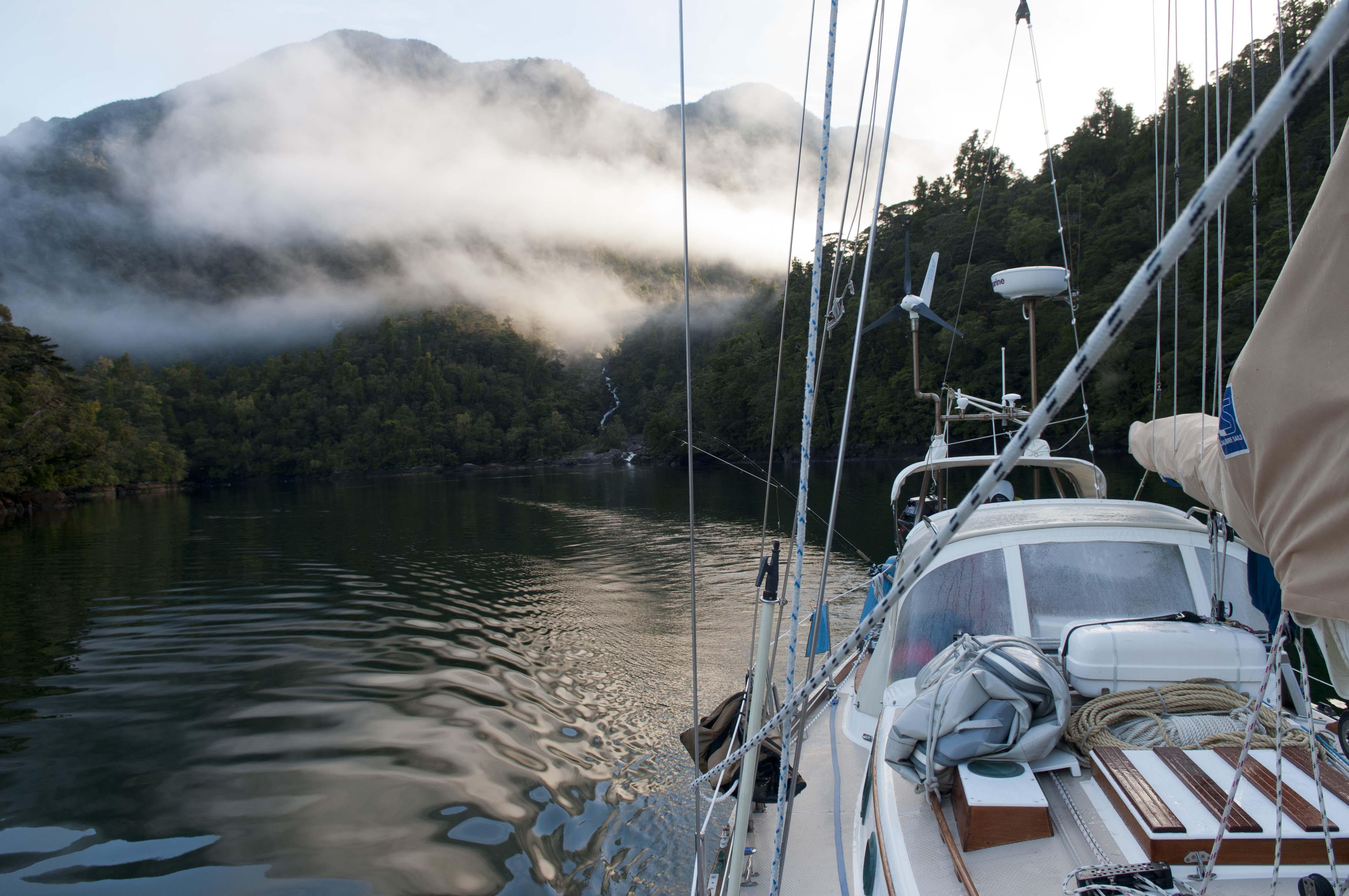
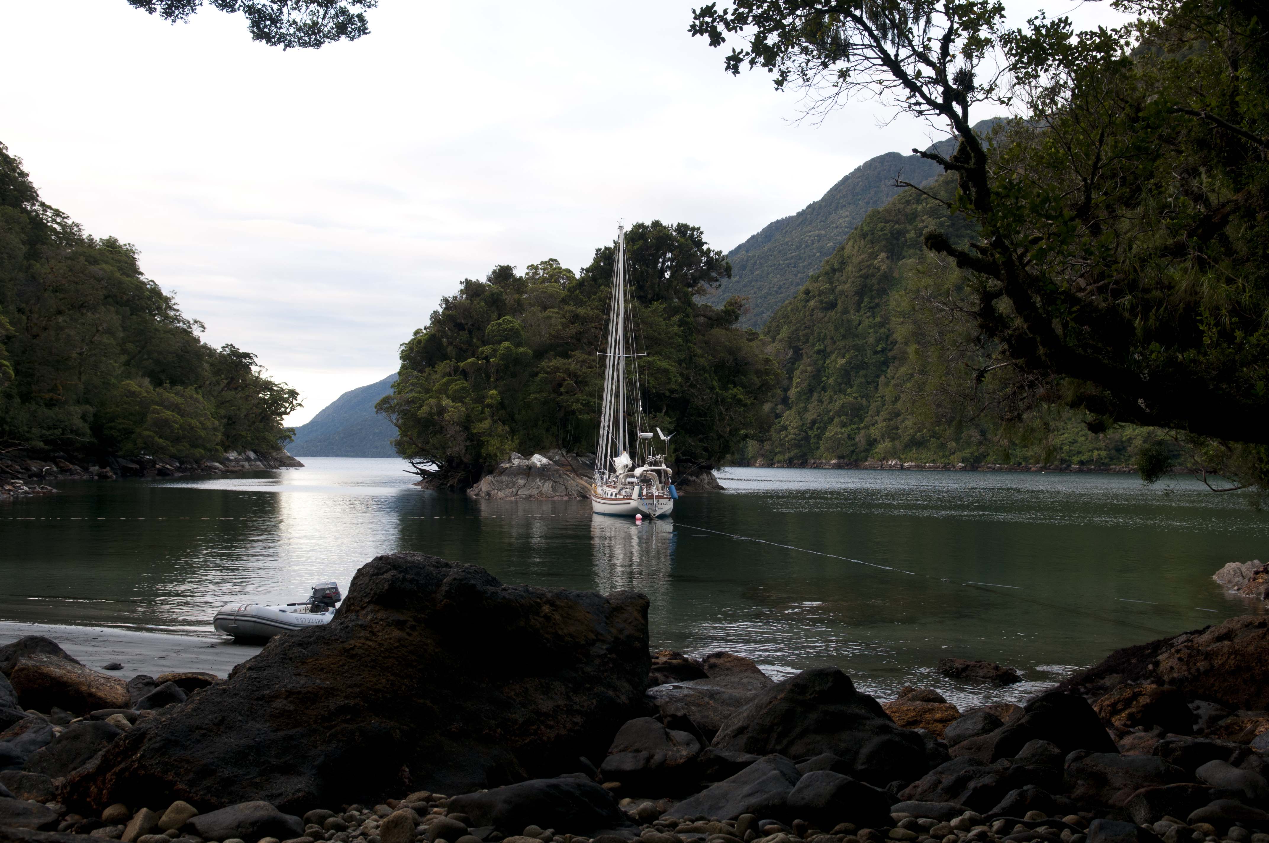
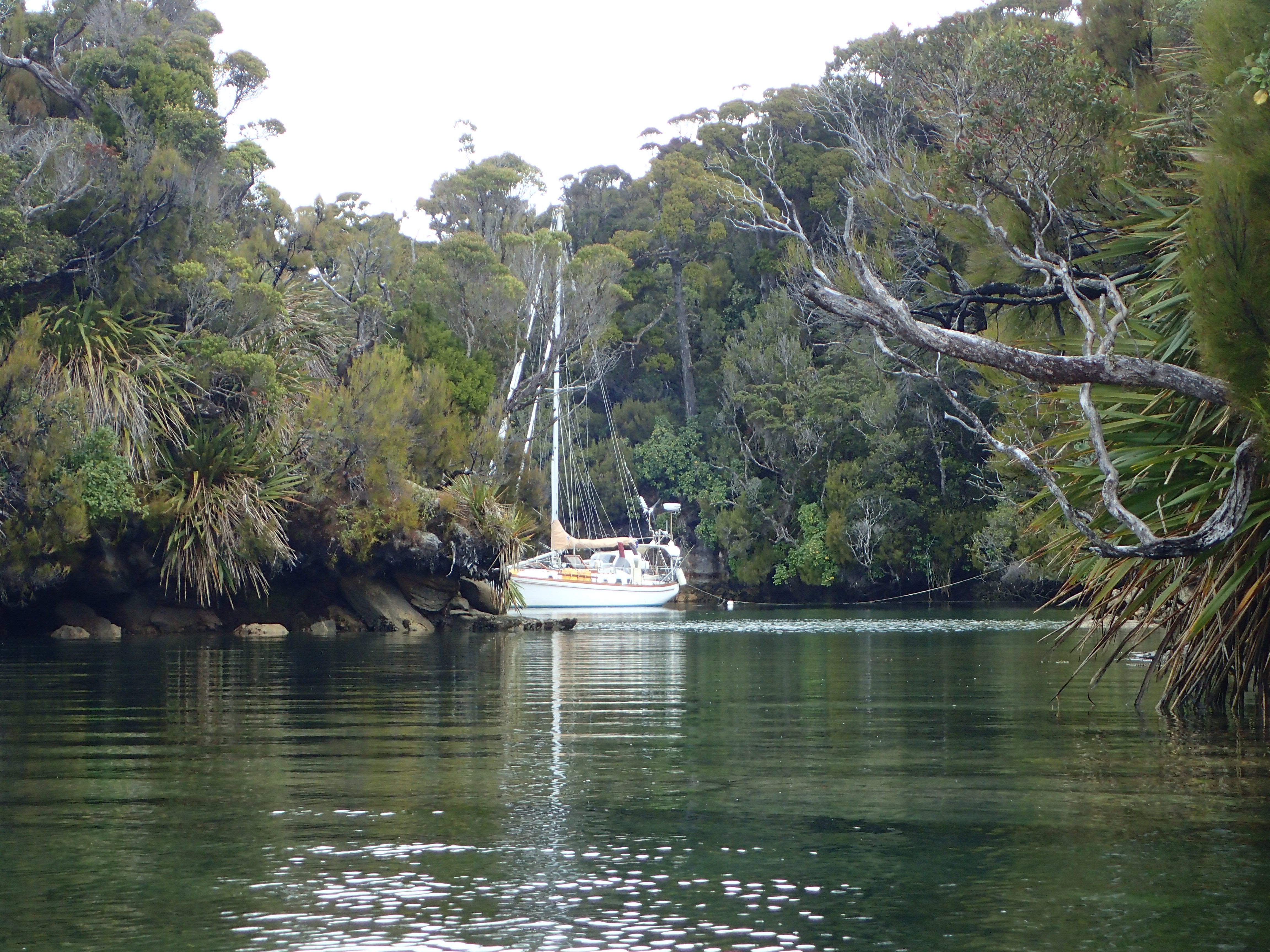
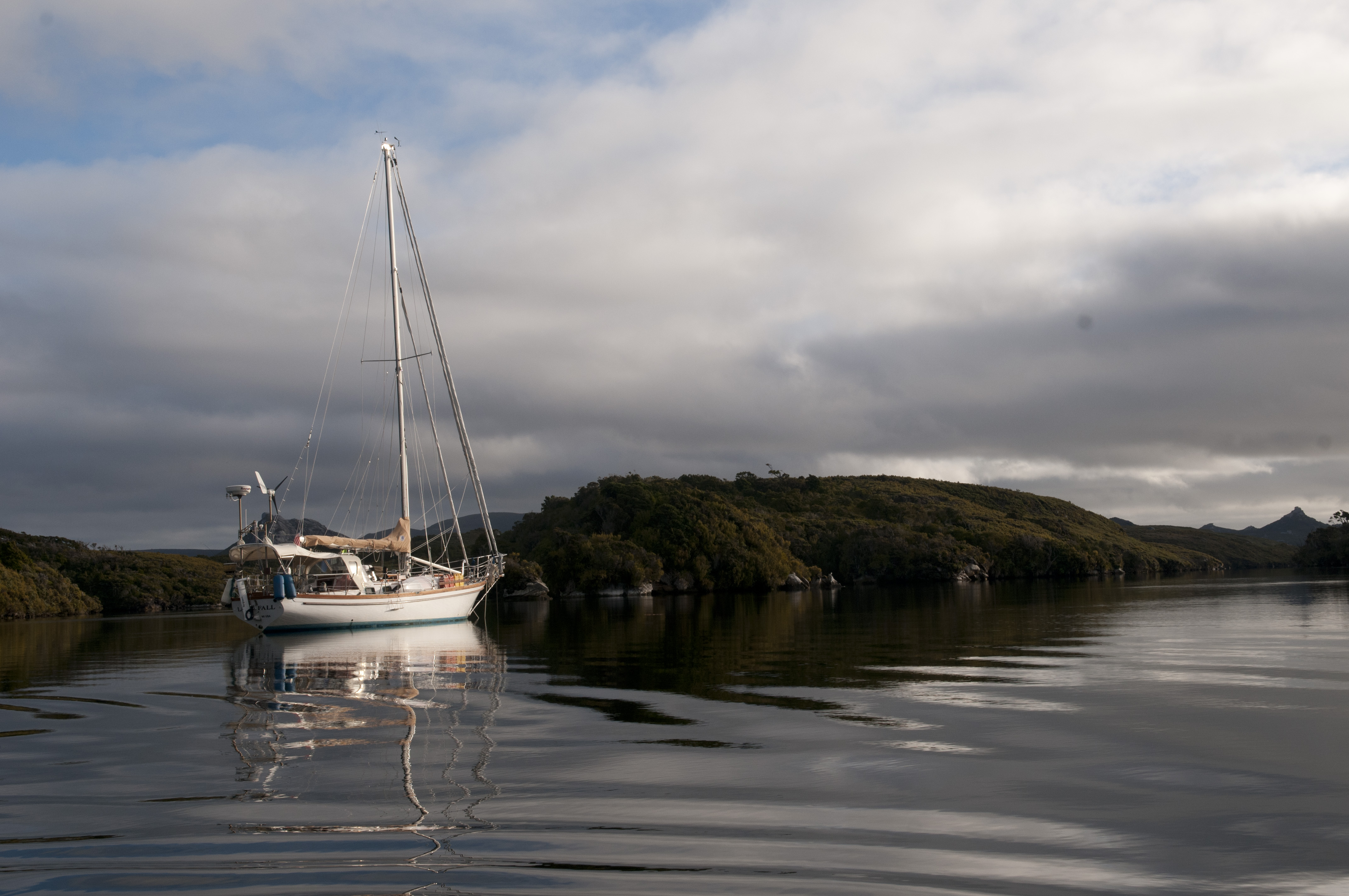
We arrived on a grey and windy day, the water was choppy and it all felt pretty unwelcoming. We were both tired from the passage so we had decided that our first anchorage would be the one recognized as the safest all-weather anchorage in Port Pegasus. As we motor sailed into the anchorage it didn’t appear very hospitable until we rounded the last little island and discovered a little hole where only a slight breeze could be felt. We dropped anchor and tied stern and bow lines to the existing mooring lines. We finally felt safe, secure and NO sandflies. We rested up and then did some exploring.
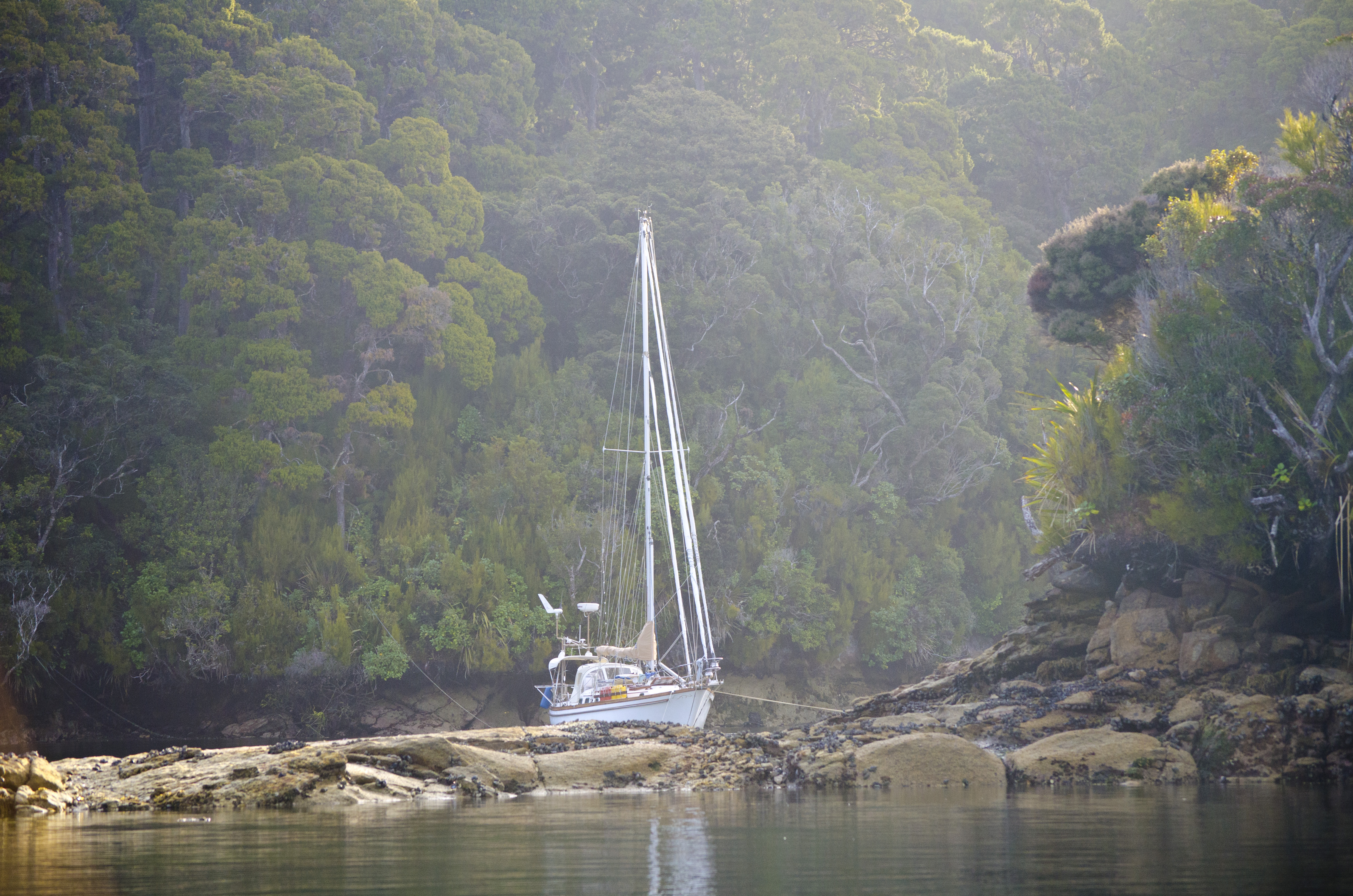
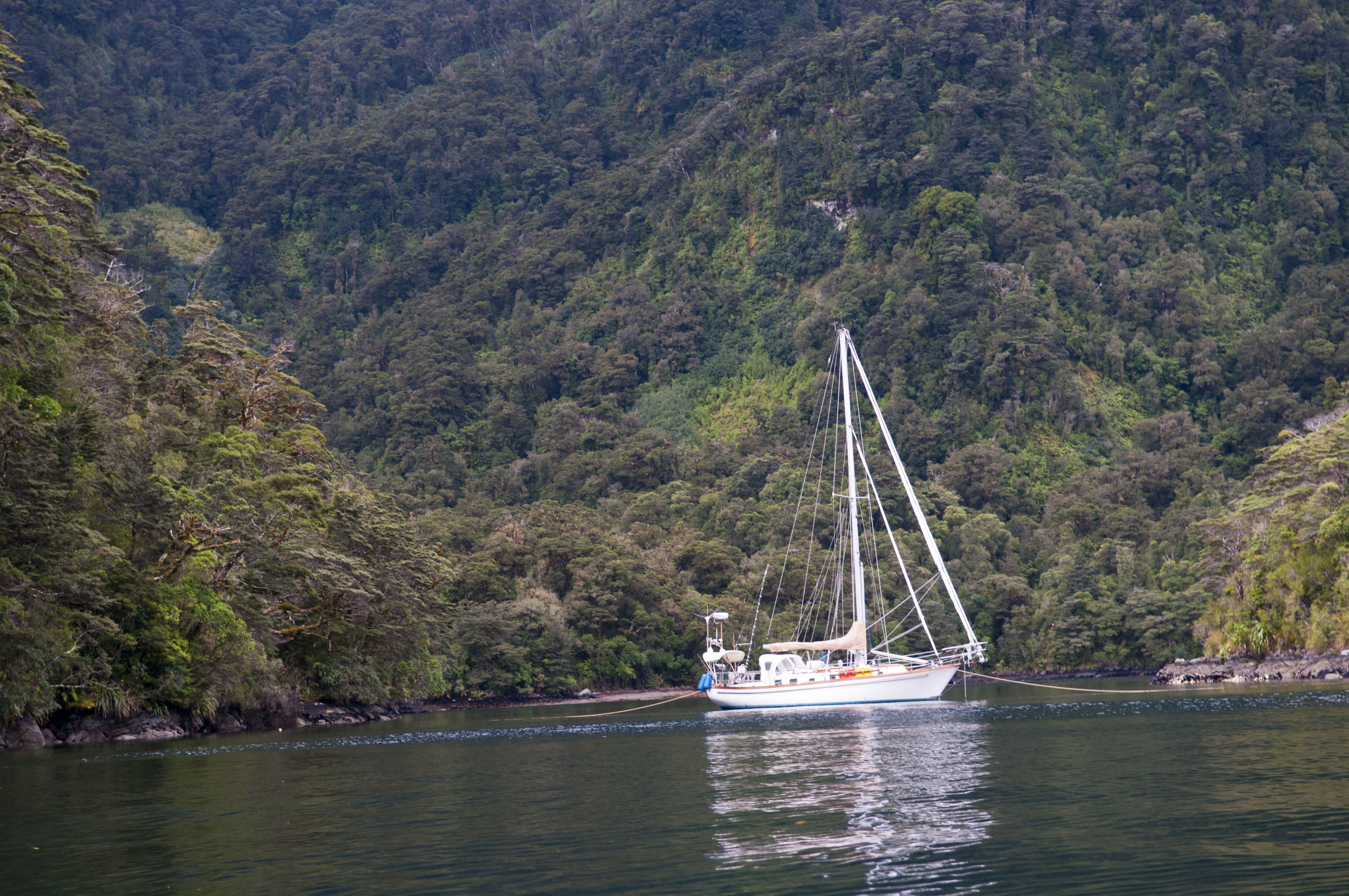
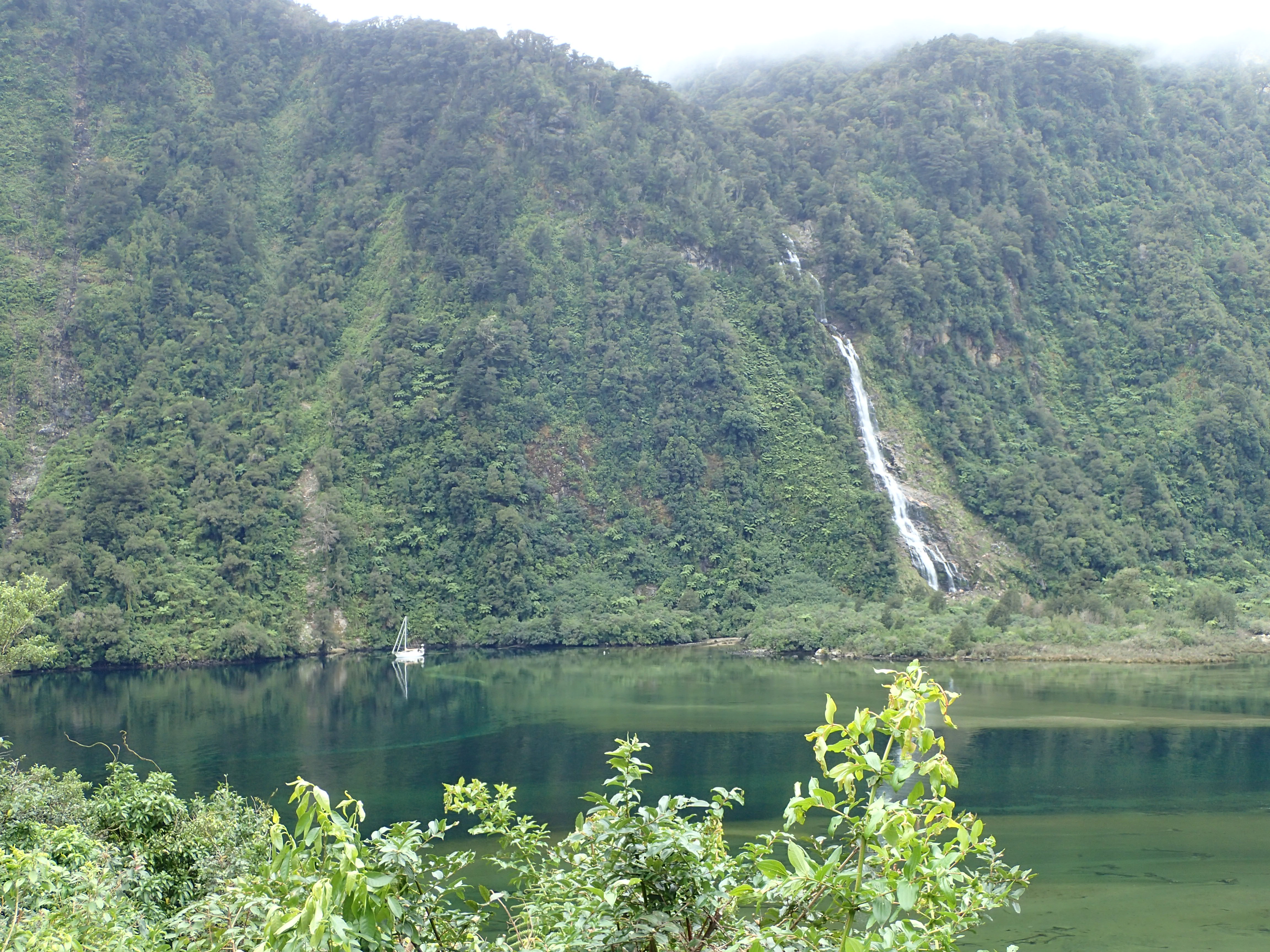
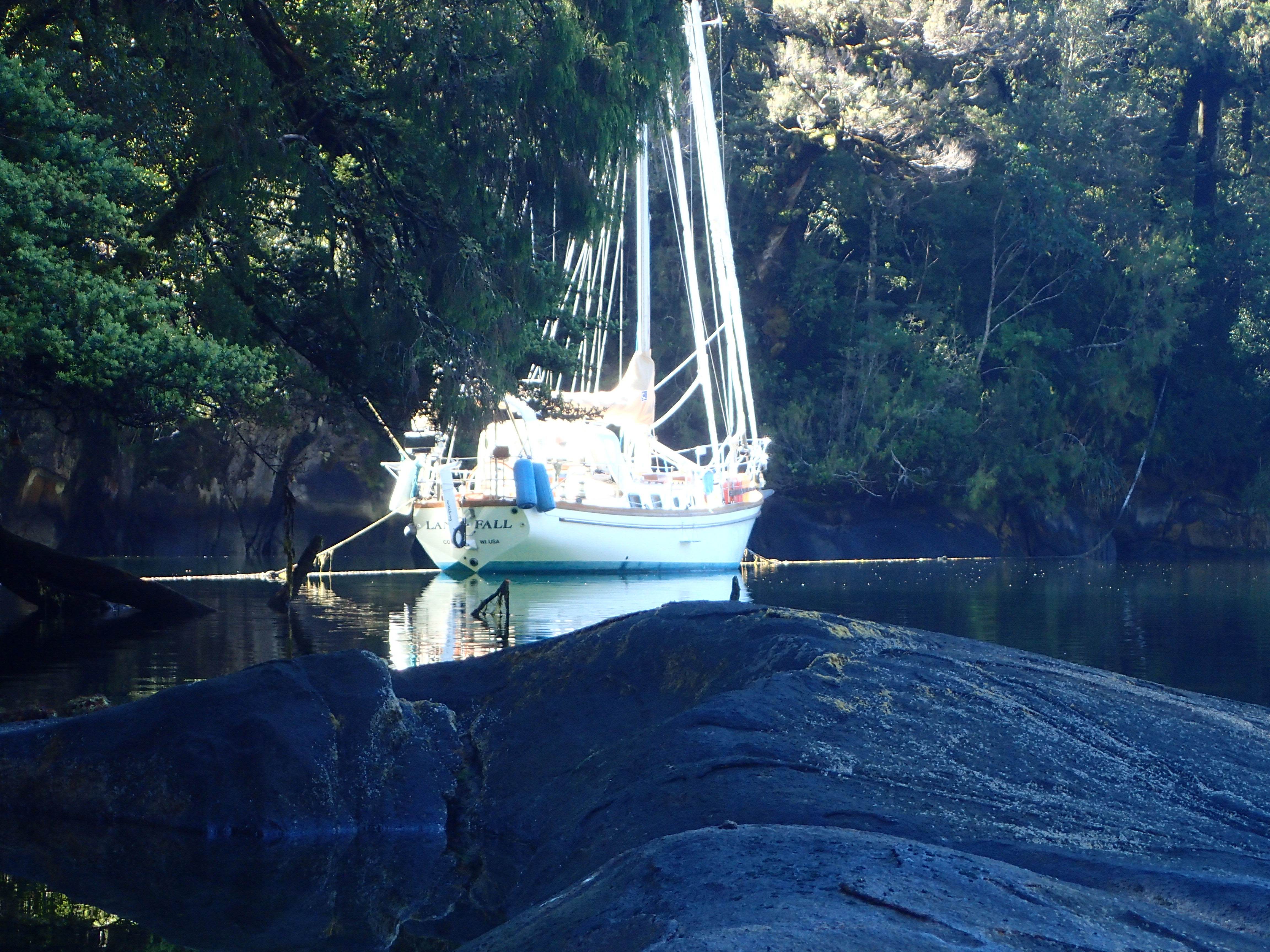
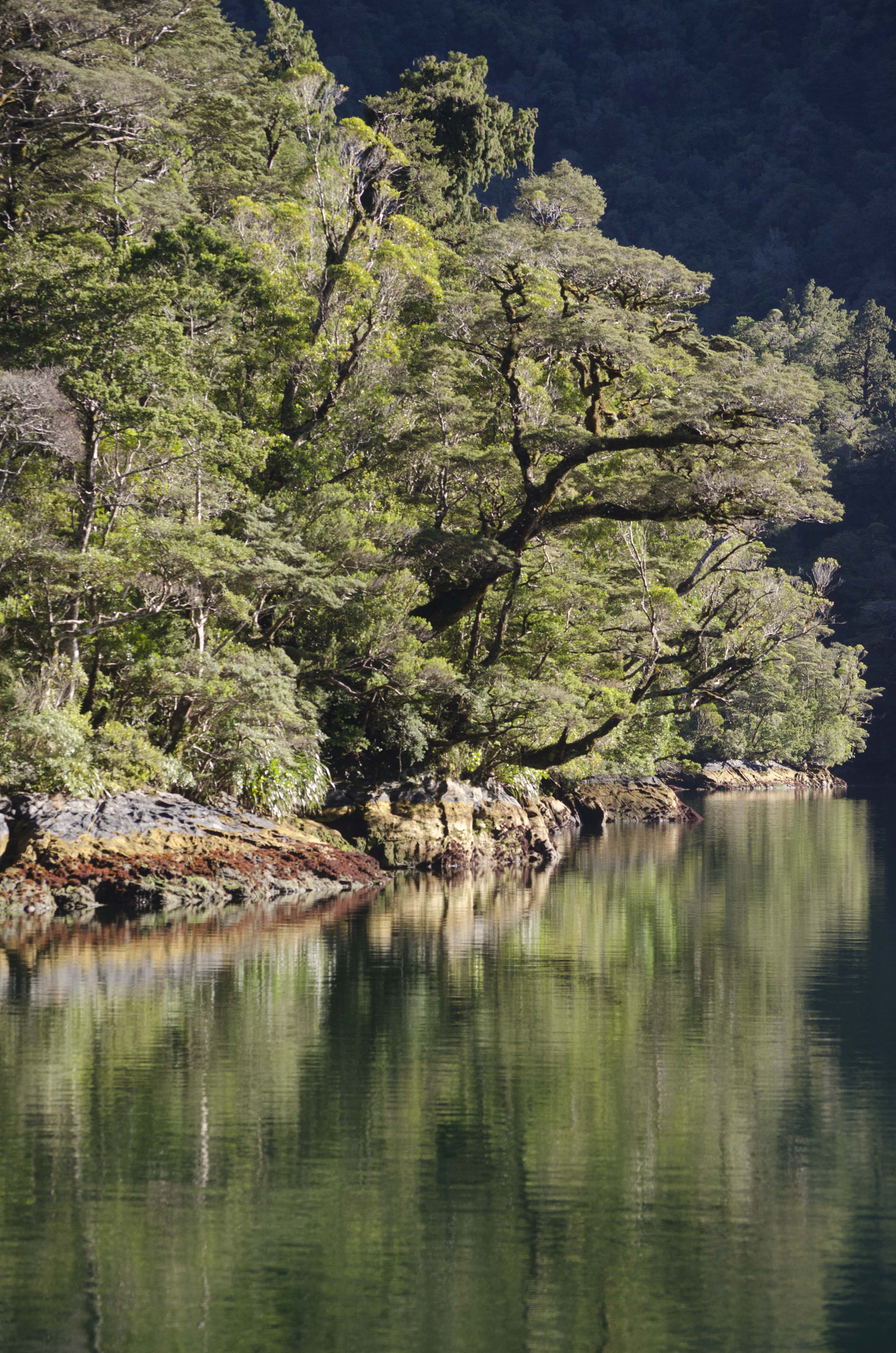
Landfall safely tucked away in Disappointment Cove
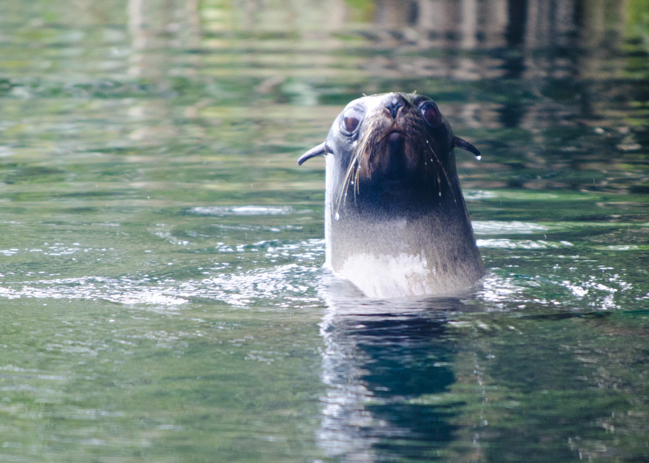
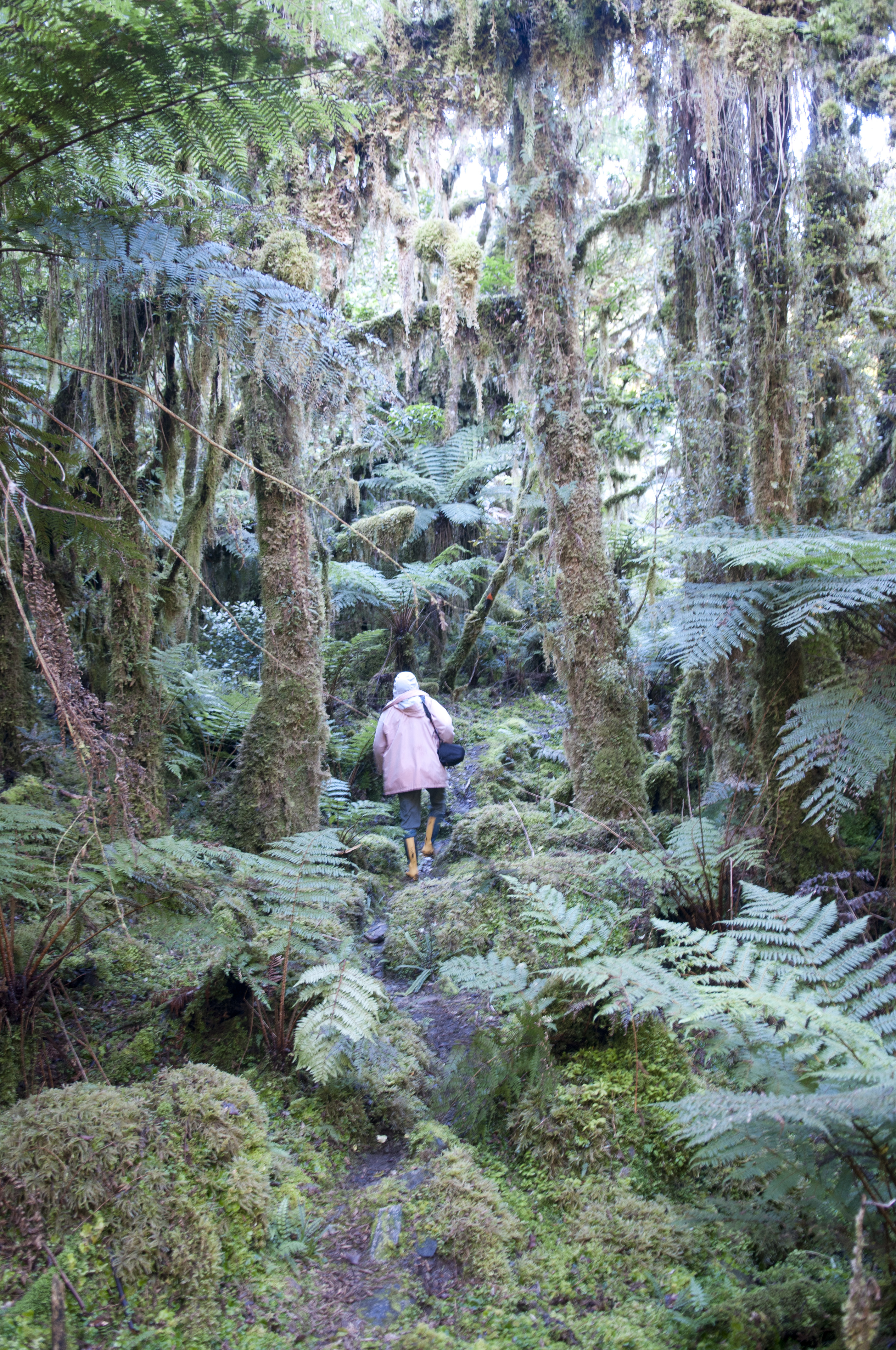
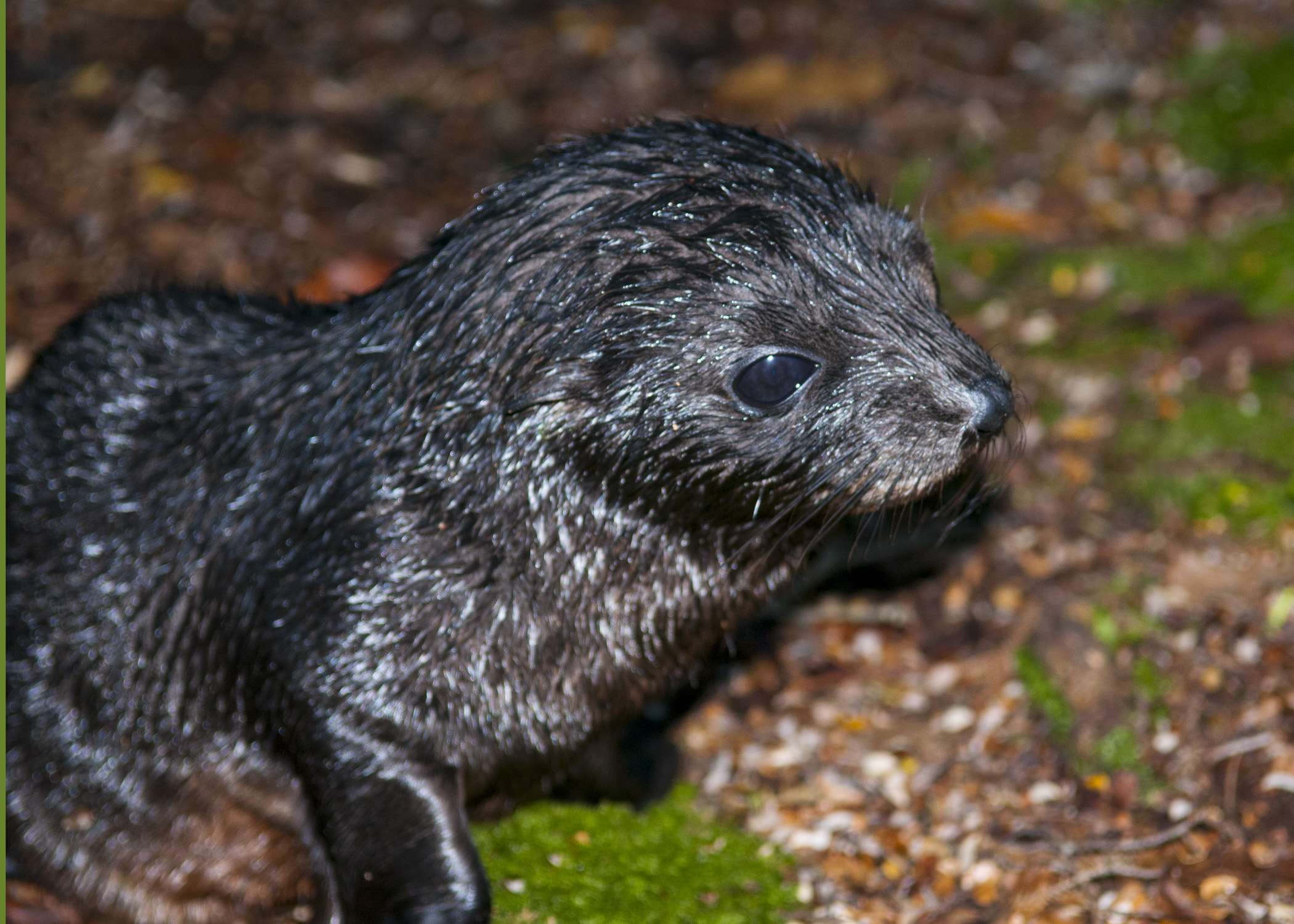
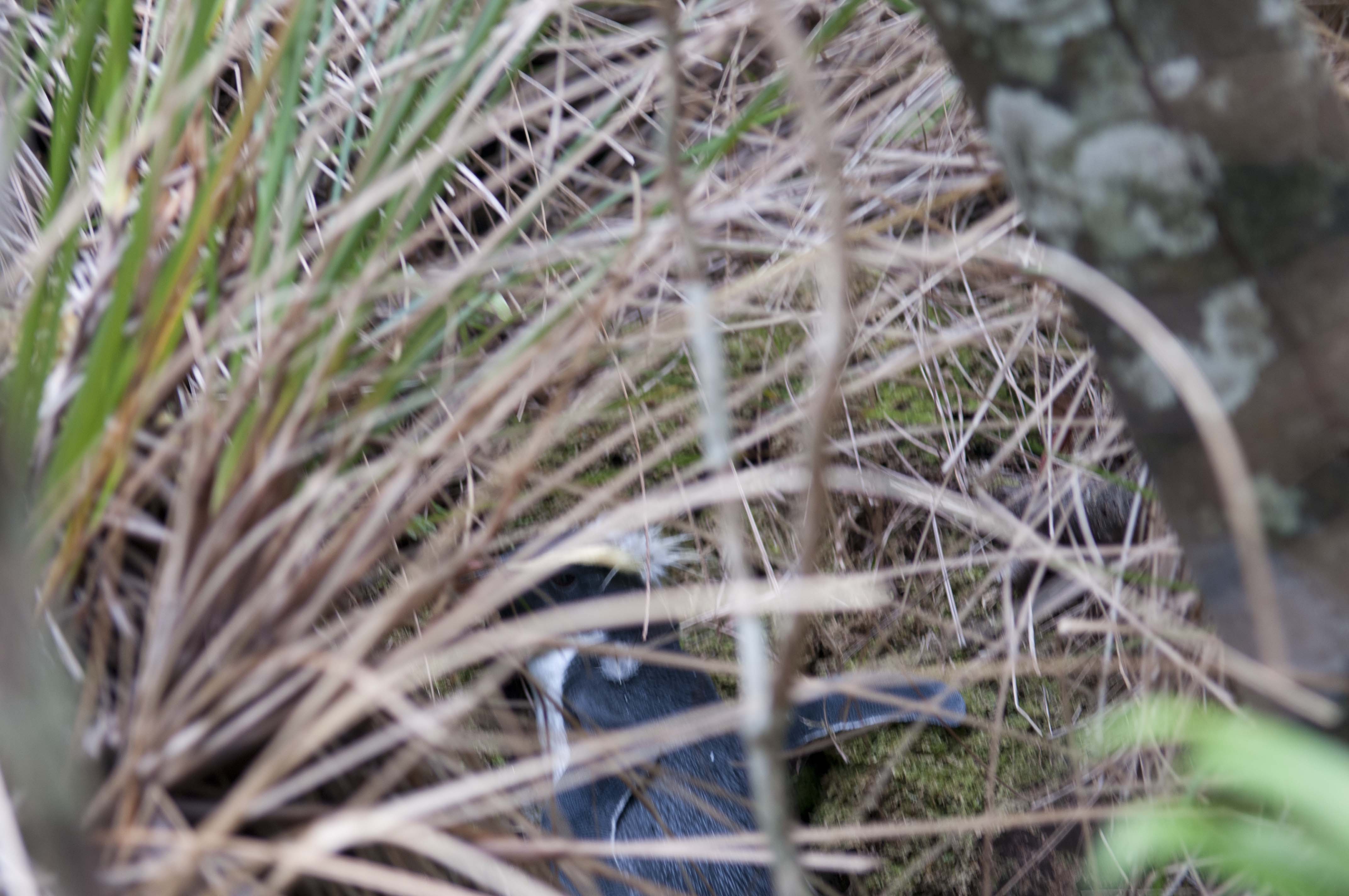
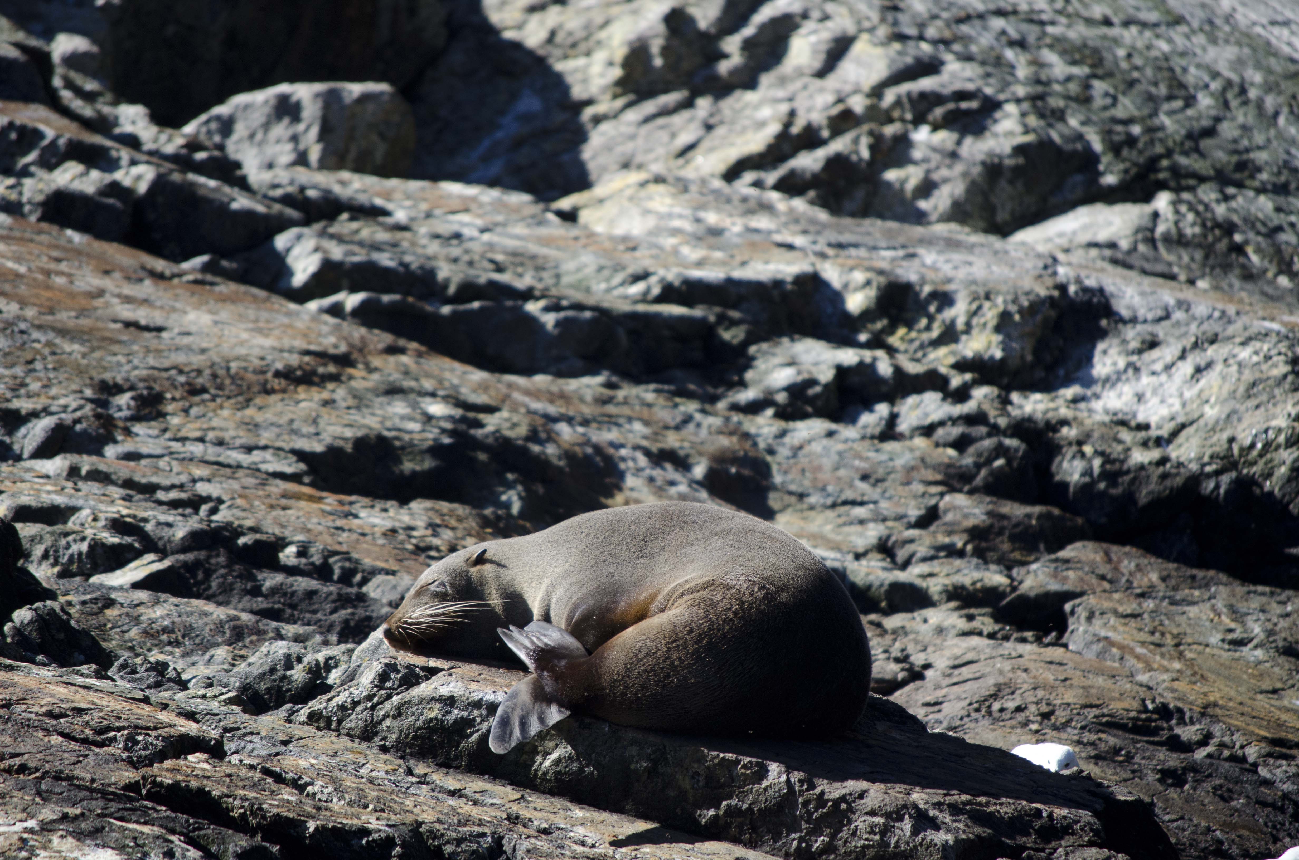
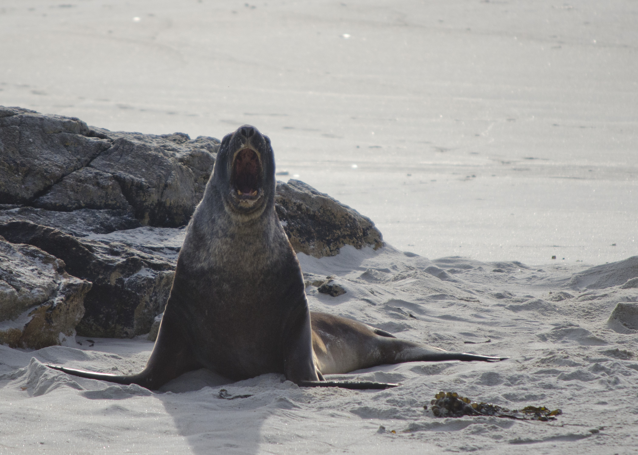
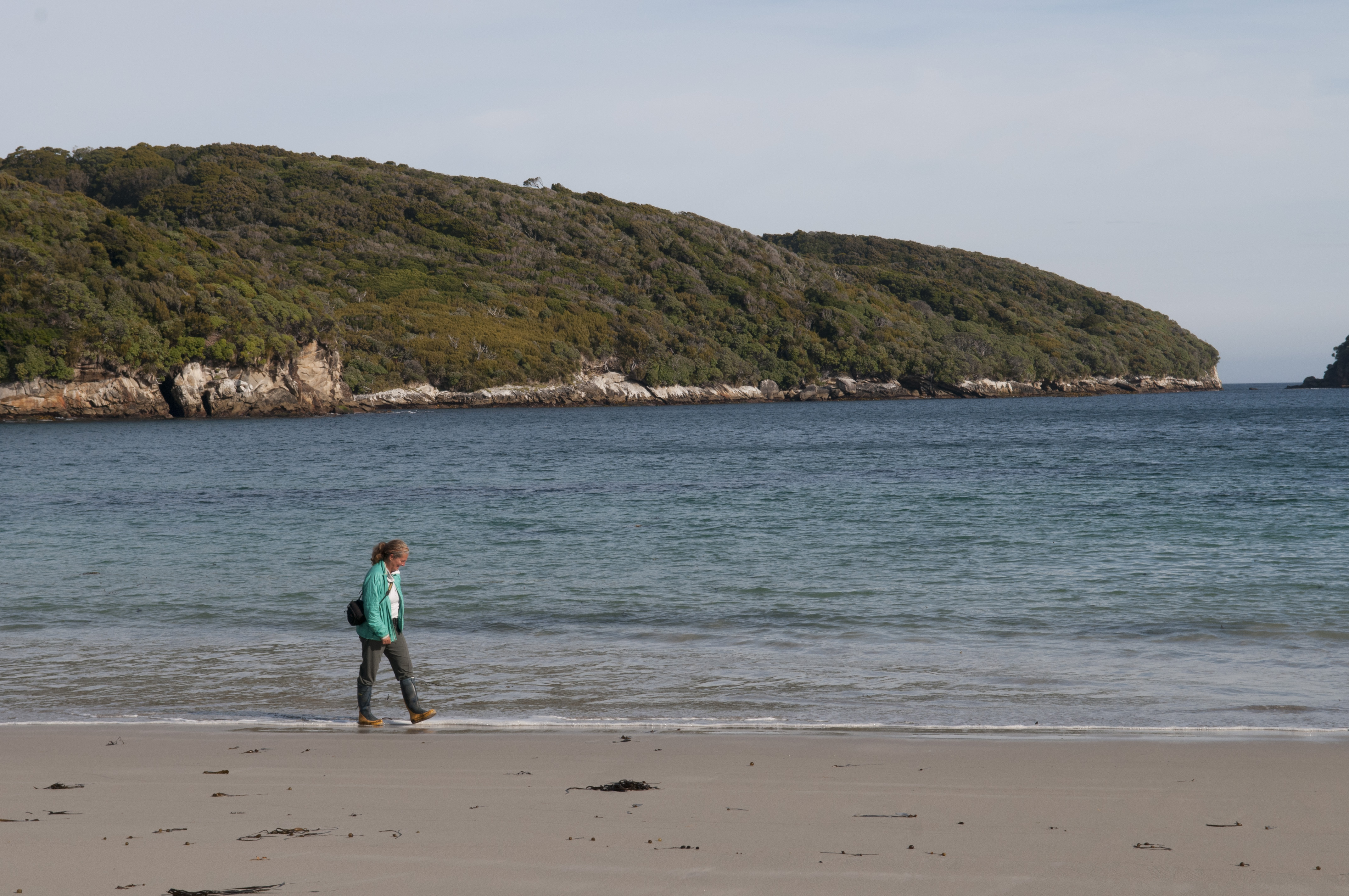 There was a clear-cut track at the head of the cove and after 20 minutes walking we ended up on a beautiful secluded white beach. By secluded we mean no human footprints on the sand except for ours but there seemed to be quite a few Hooker seals there taking afternoon naps and enjoying the warmth of the sun.
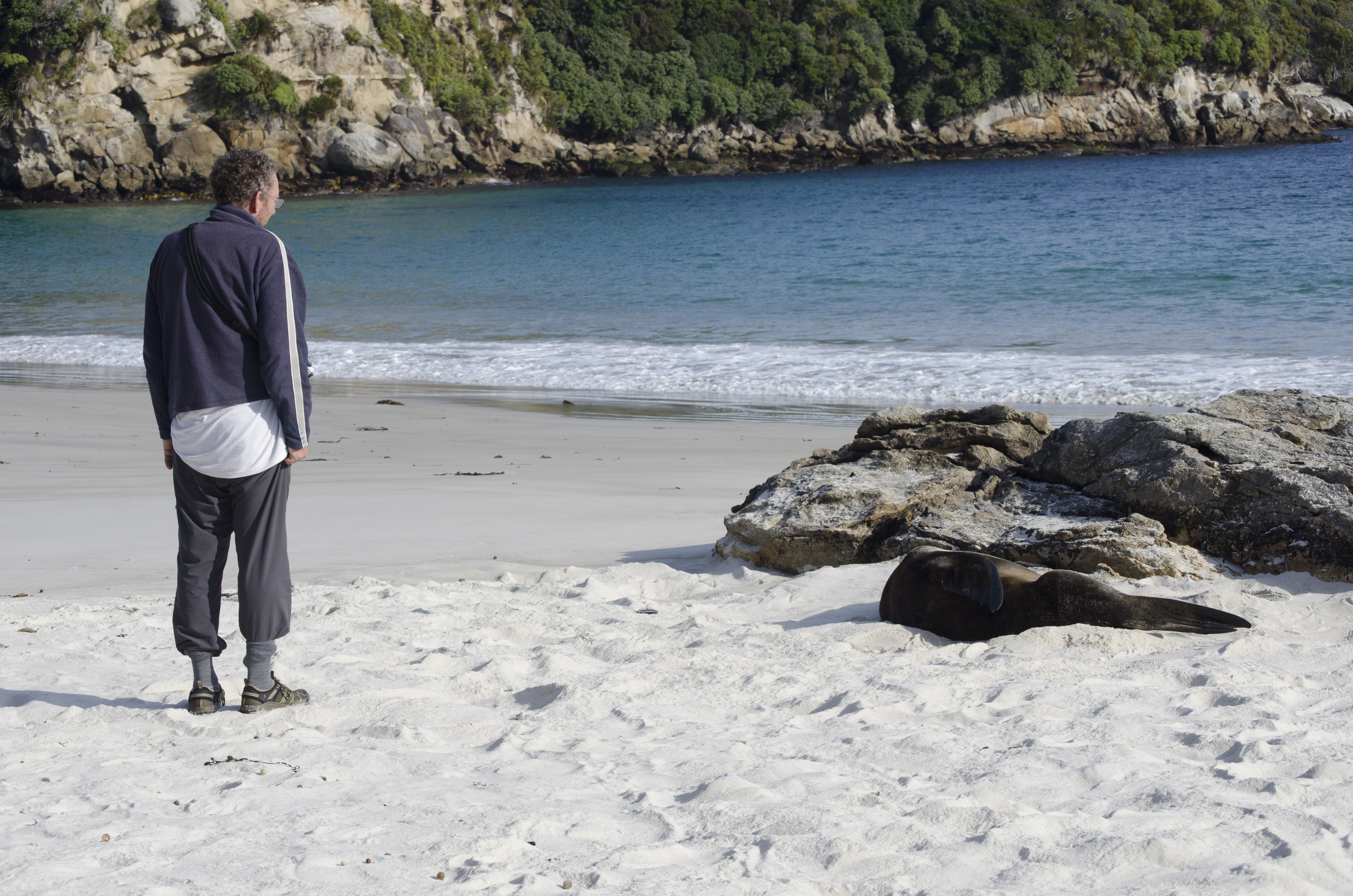
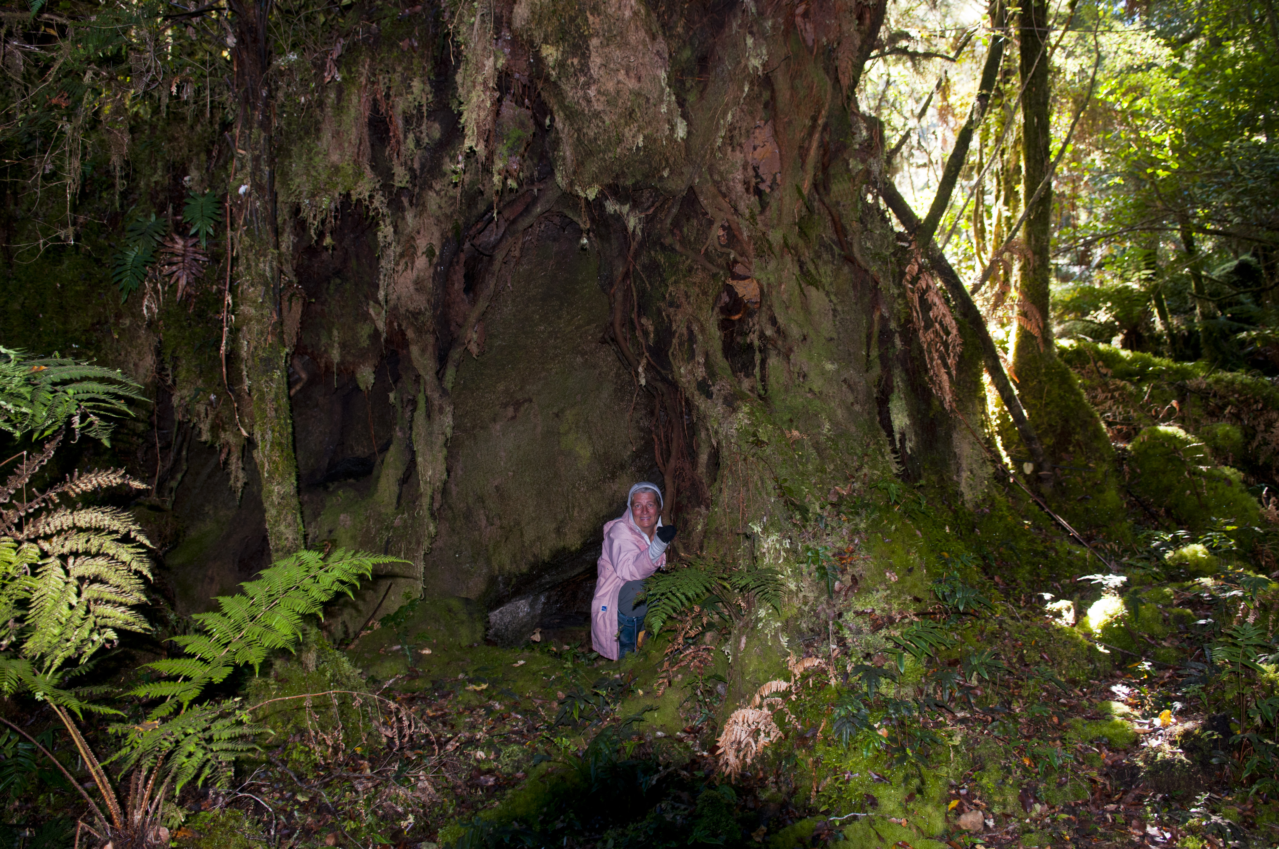
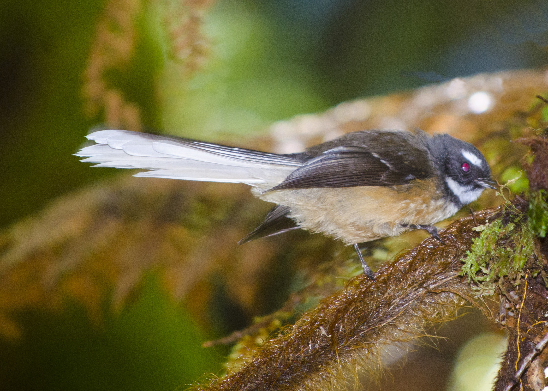
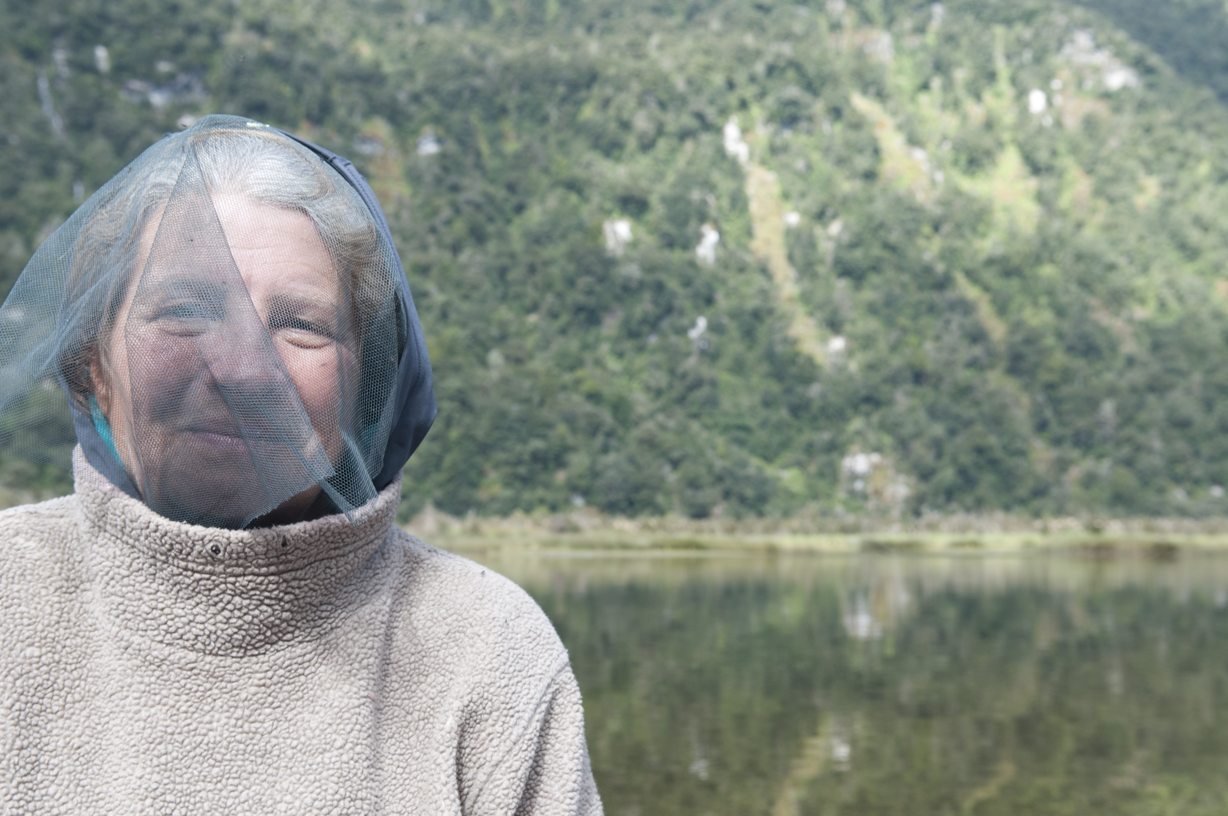
Seals oblivious of Dennis and his great fashion sense
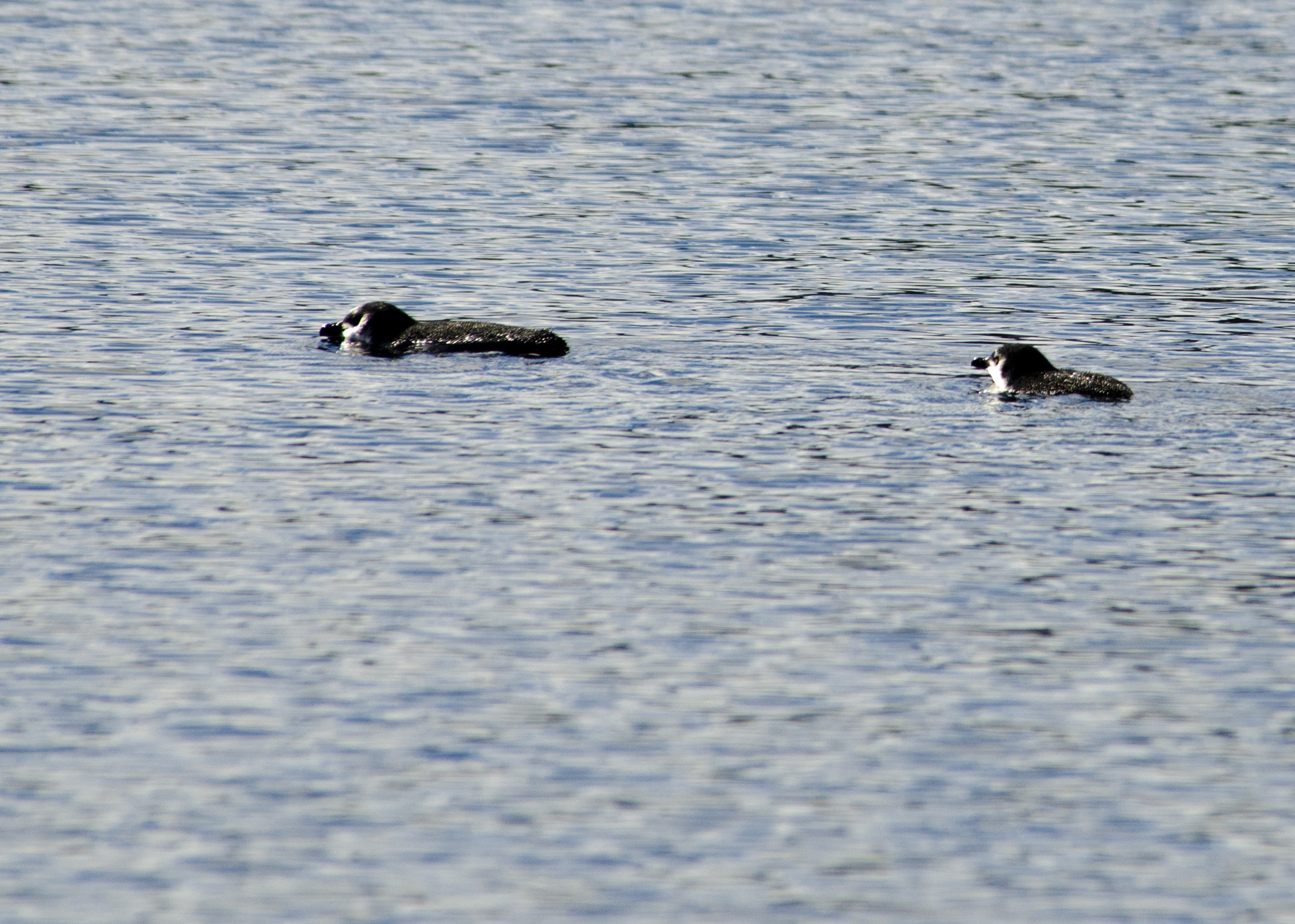
We walked around them all and got to the end of the beach and that’s when we woke a sleeping seal pair. They quickly scurried into the water and that made me feel a little more relaxed as these seals, especially the males were quite large. But the awakening of that pair of Hookers 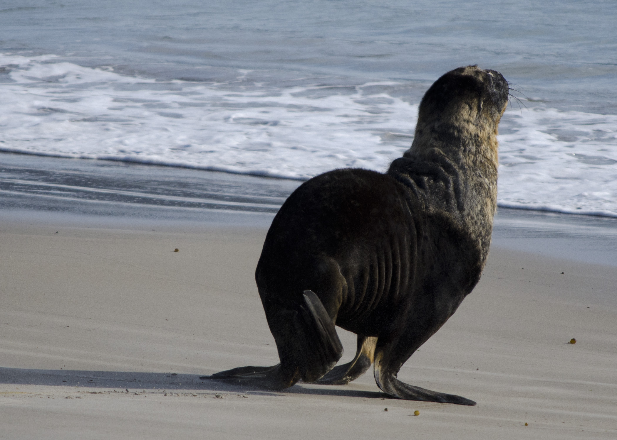 seemed to set off a chain reaction and the other seals became aware that we were there as we quietly tried to make our way back to the beginning of the track. We were almost home free but came across a very cranky bull. He was not the least impressed by our appearance on his beach and showed his discontent by huffing and growling at us. Each time we tried to pass him in order to get back to the trail head he made a very aggressive move towards us. I wasn’t sure we could outrun him and he seemed content to just wait us out so we had to bushwhack our way to where our dinghy was.
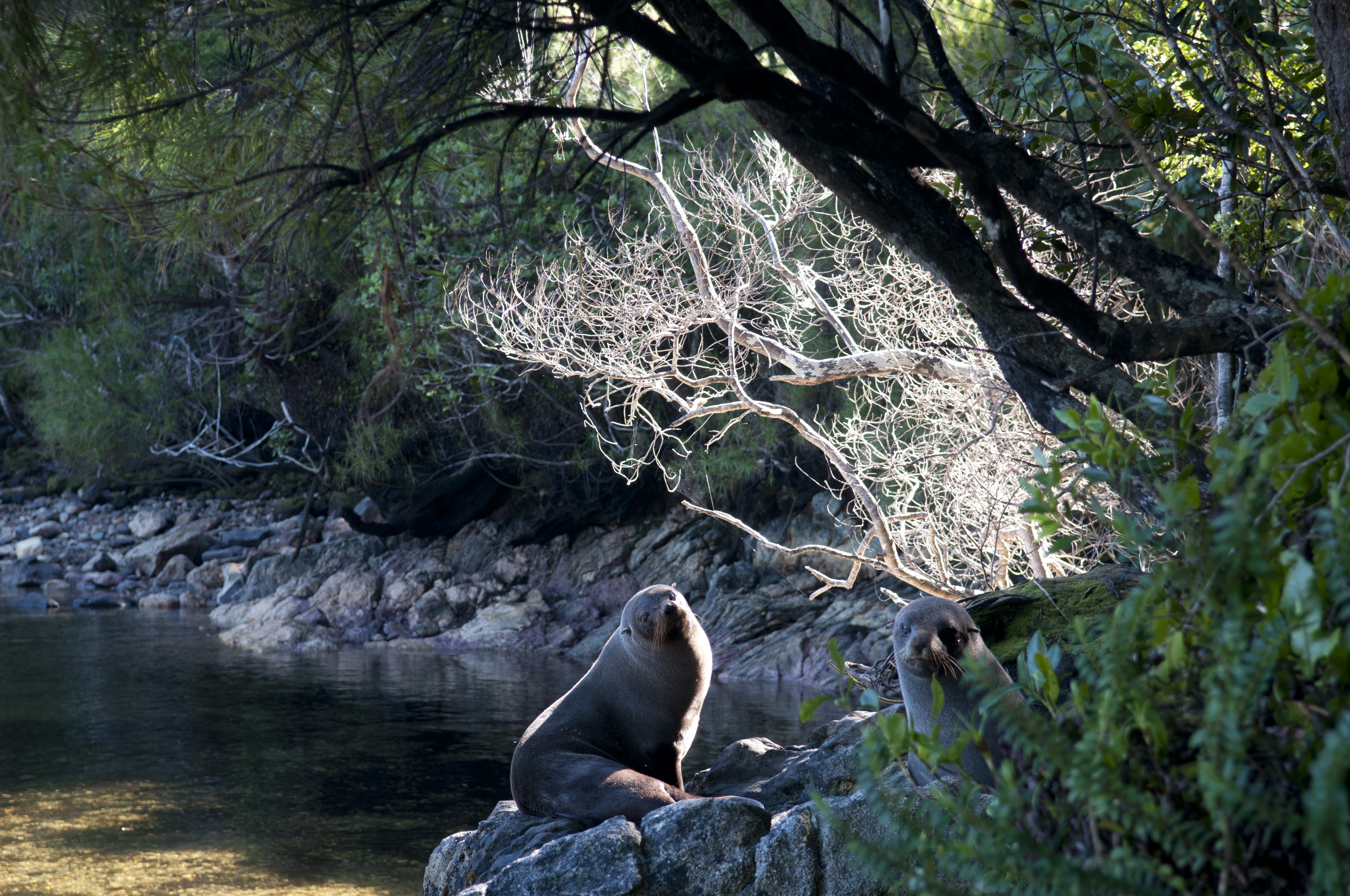
A little cranky after we woke him from his nap
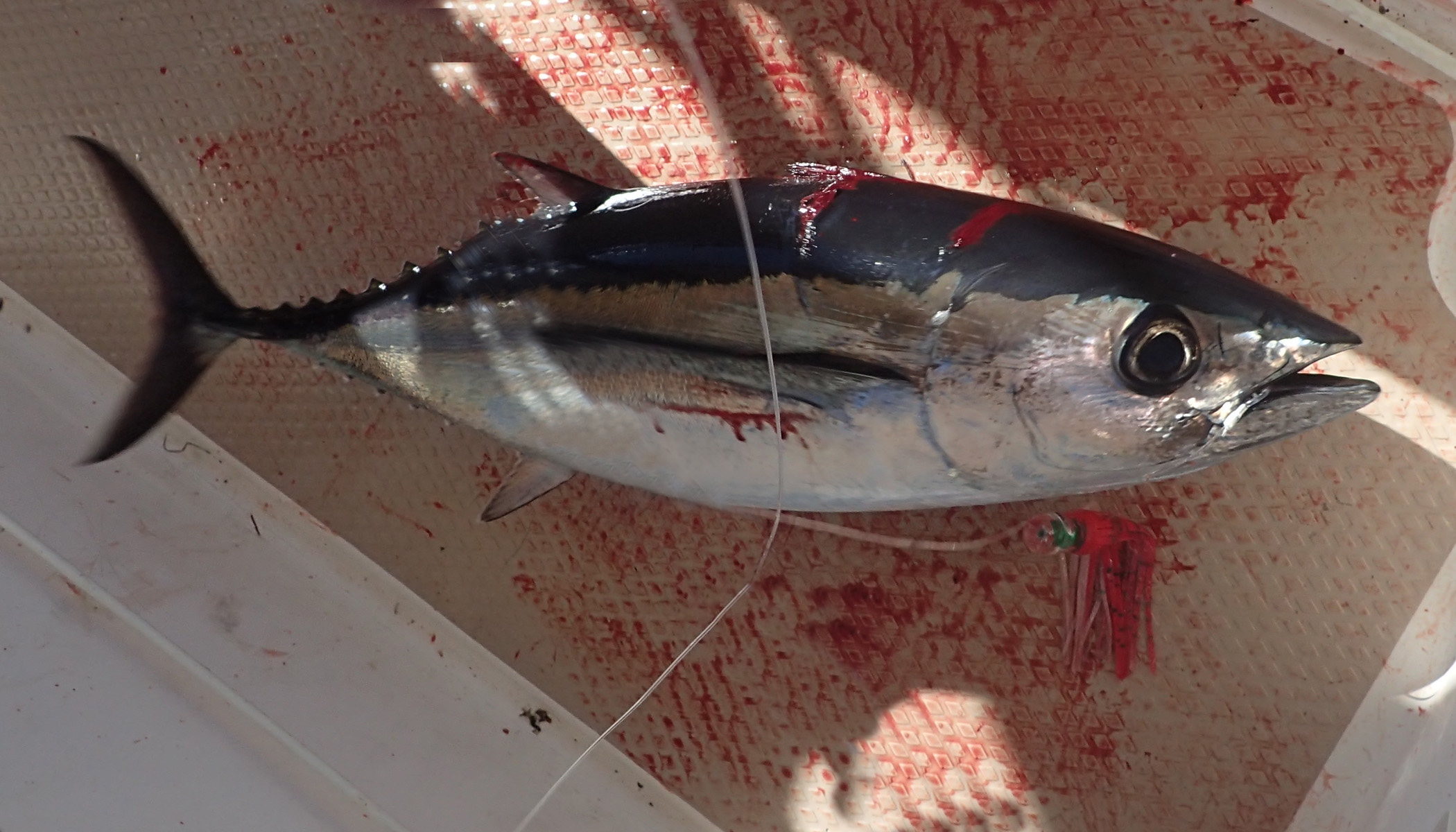
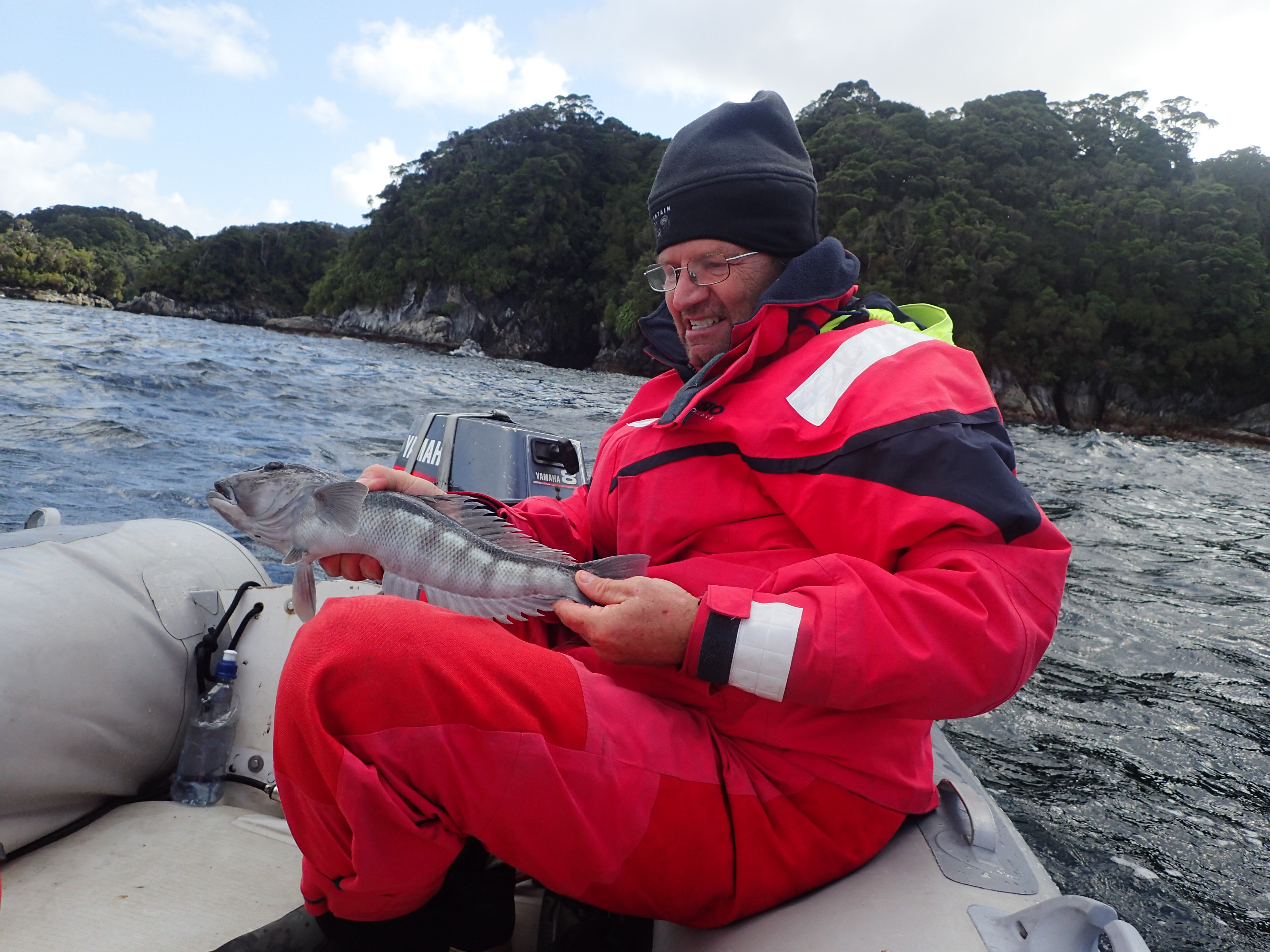
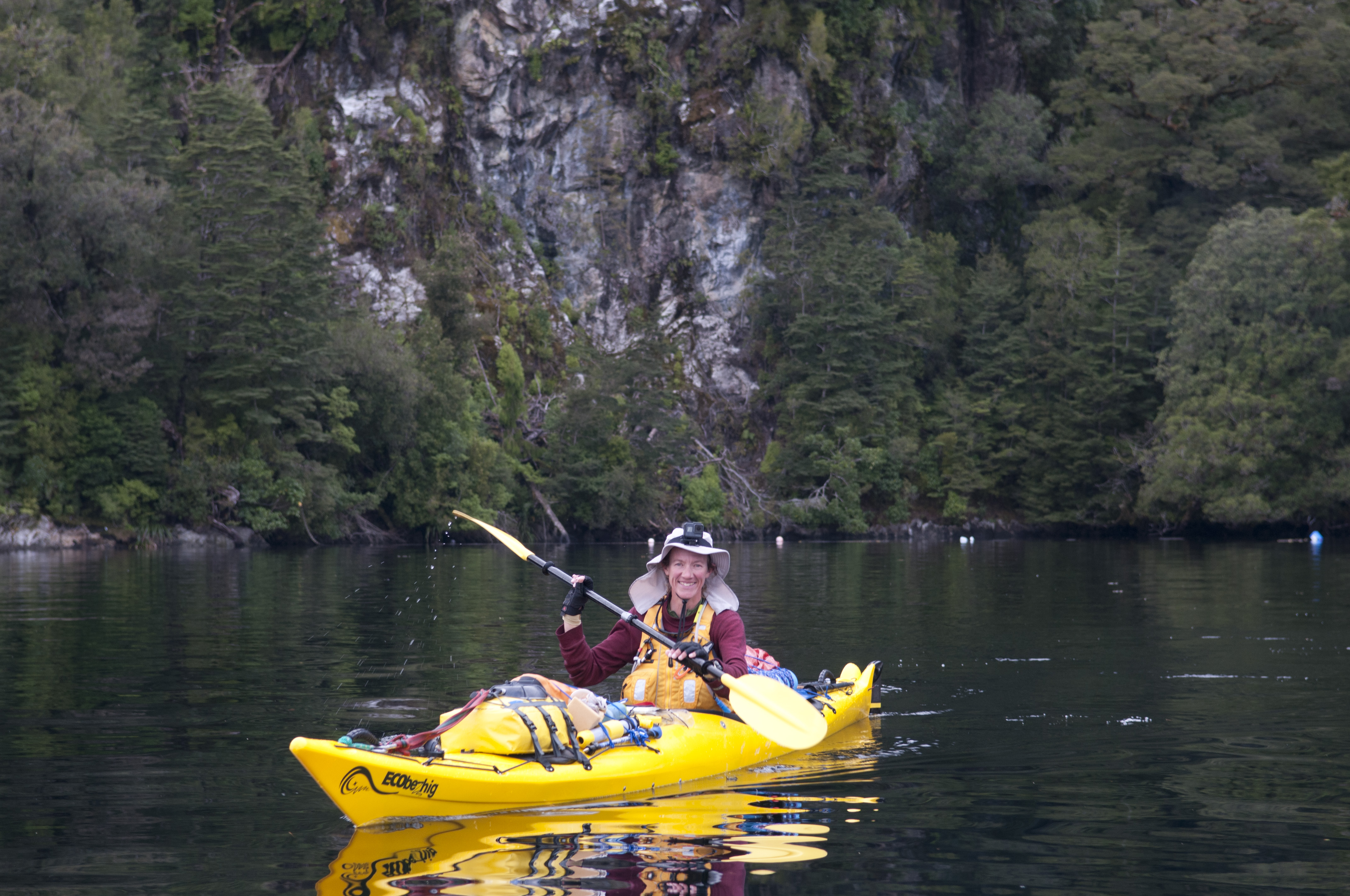
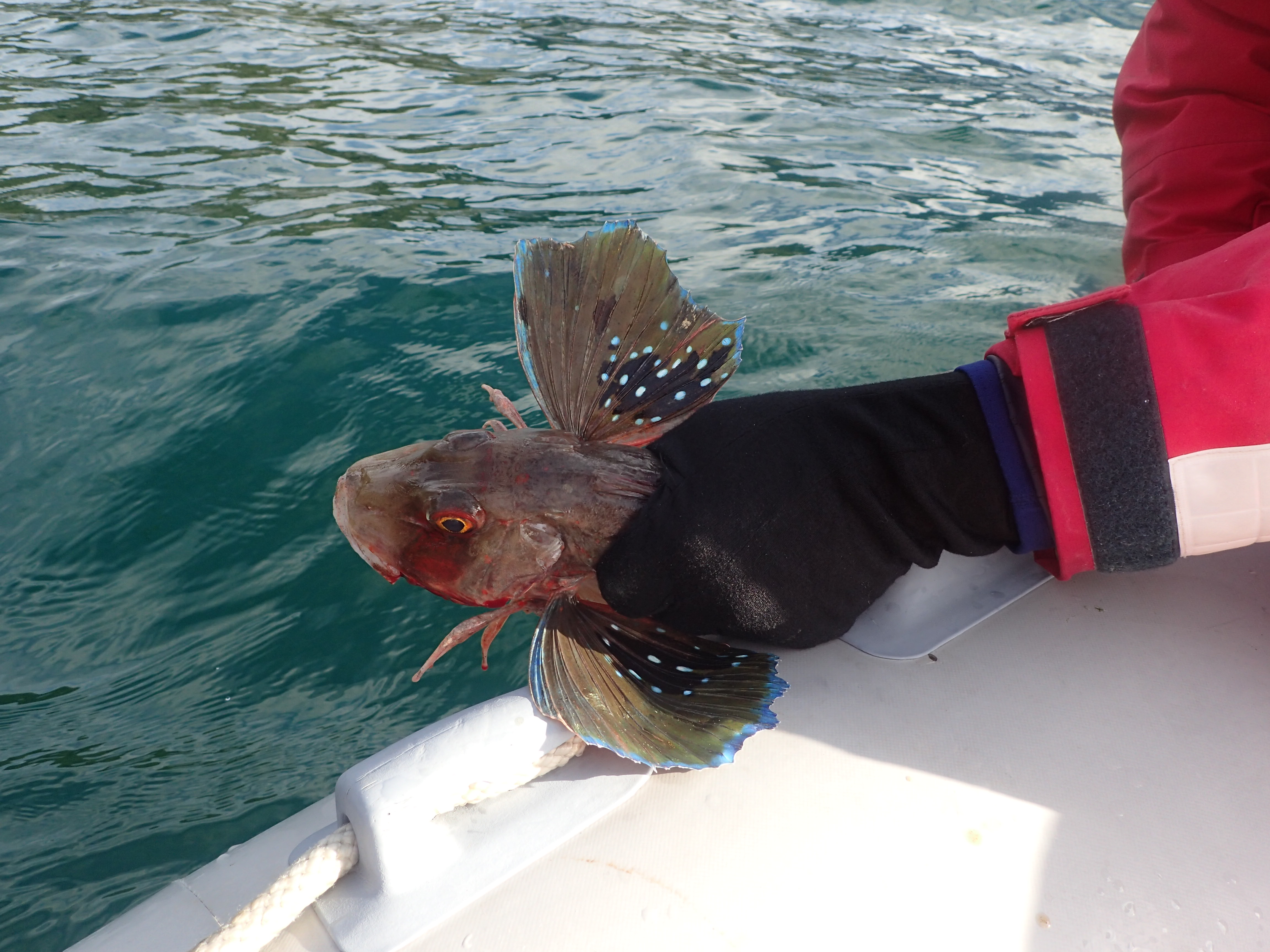
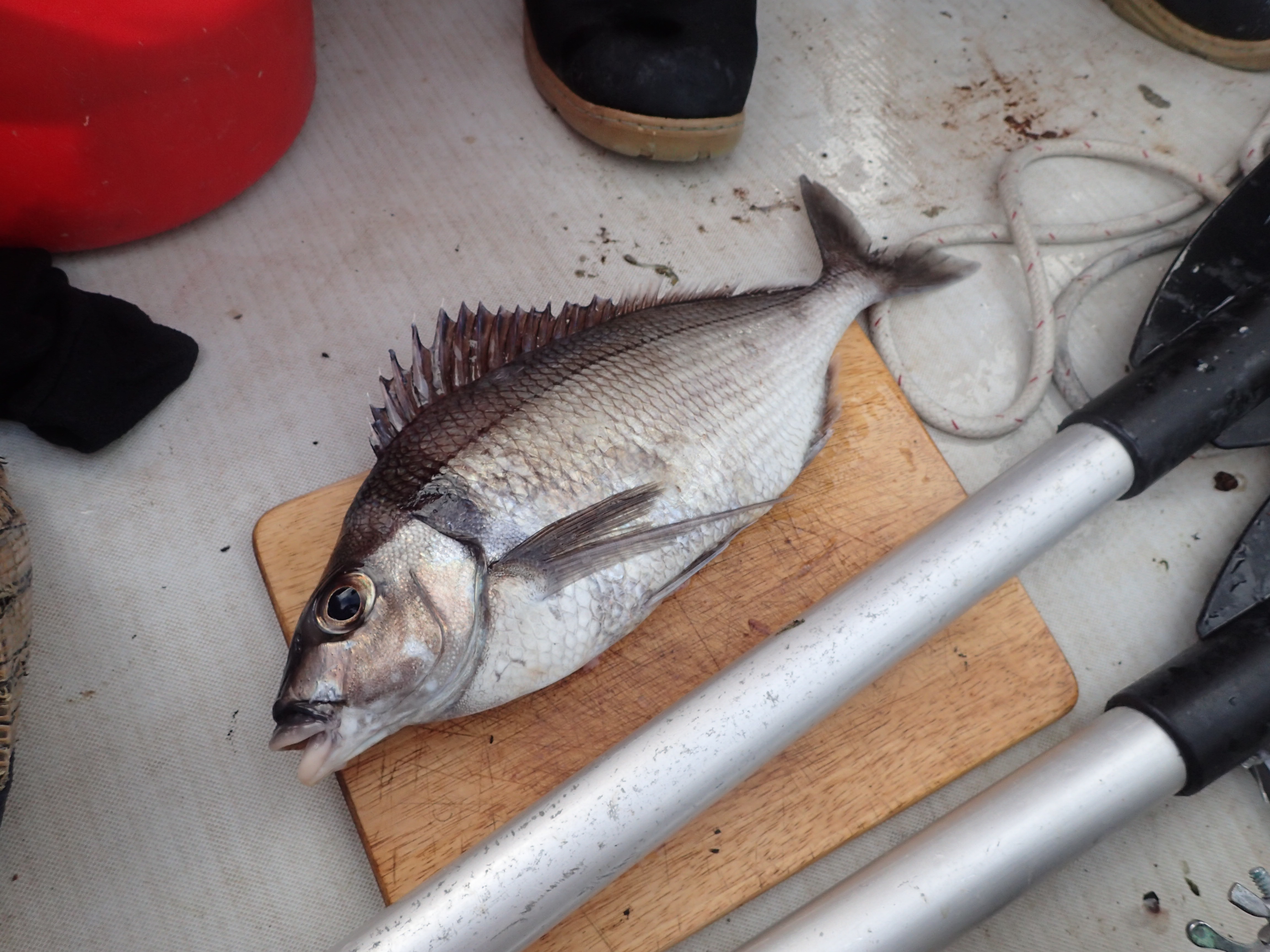
When we finally reached the river bed where we had tied our dinghy we realized it was sitting high and dry. What we thought was going to be a short excursion turned out to be much longer than planned and we were now at low tide. It was going to be a painful, long slug to carry the dinghy back to the water. But out of nowhere came a power boat with 3 big, strong men and they noticed our predicament. With the fine hospitality and generosity that we continually seem to encounter in the South Island, they quickly landed their boat and helped carry our dinghy back to the water. They were staying at a nearby hut and were exploring the area and hunting white tail deer. They indicated that our anchorage is usually occupied by locals or fishermen during scallop season which was now closed. As we dinghied back to the boat we did see the scallop shells lying on the bottom but had to settle for a meal of fresh, delicious mussels. While in Disappointment Cove I did a long kayak trip always being mindful of how quickly the weather can change. Denny went out fishing for Blue Cod and we realized that the Blue Cod were very plentiful in Port Pegasus. And so, we feasted on mussels and cod through our entire stay in Steward Island.
Always calm in Disappointment Cove
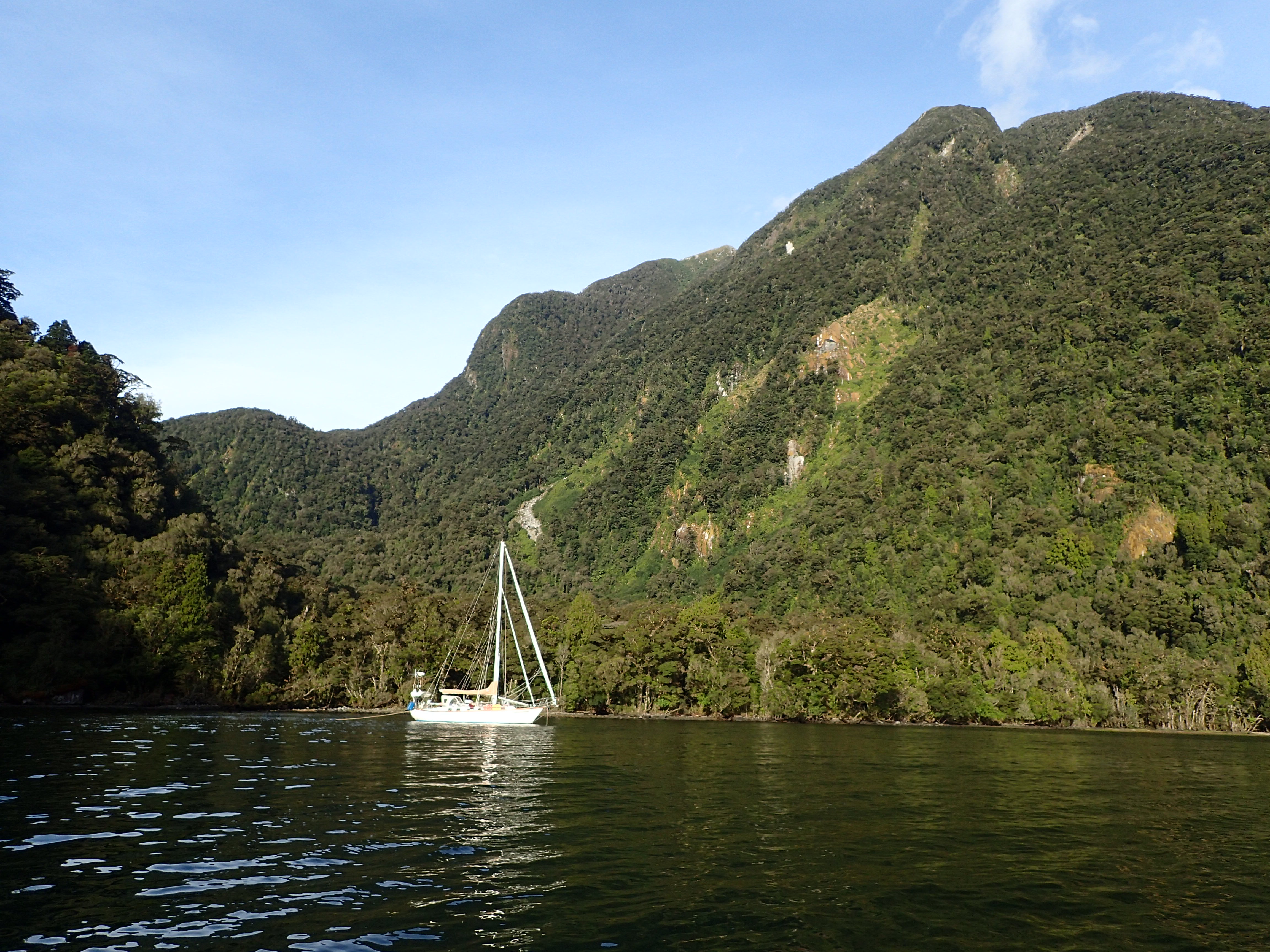
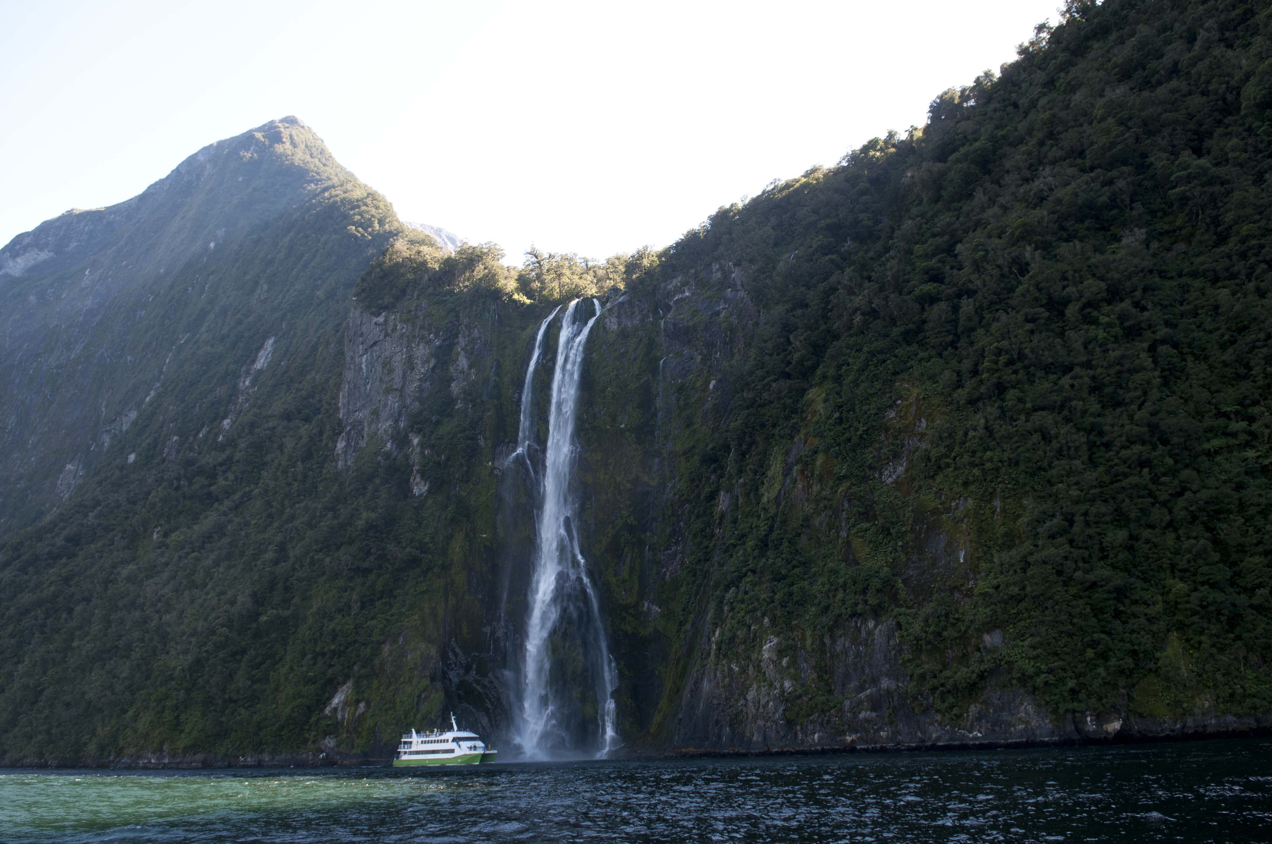
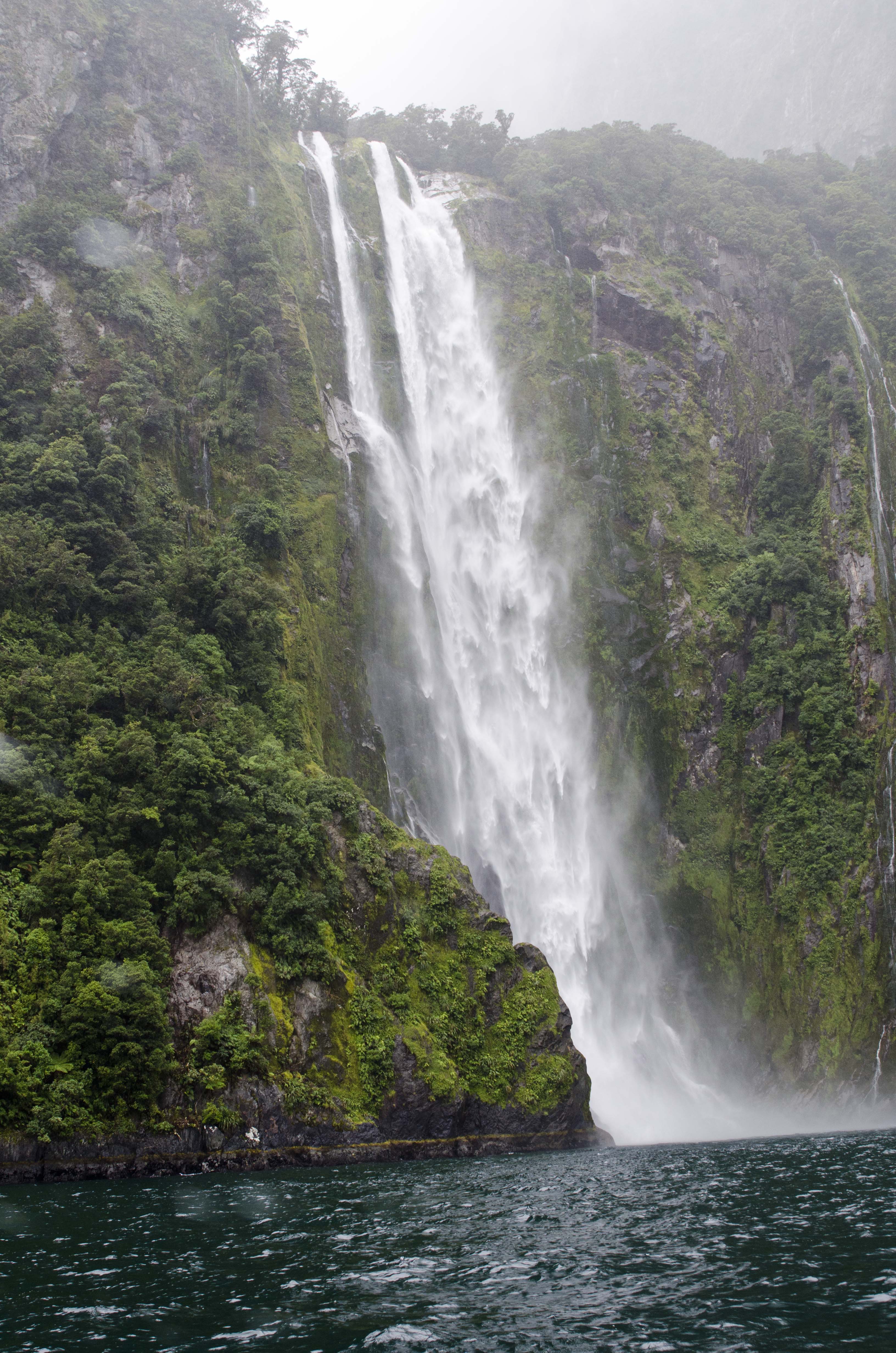
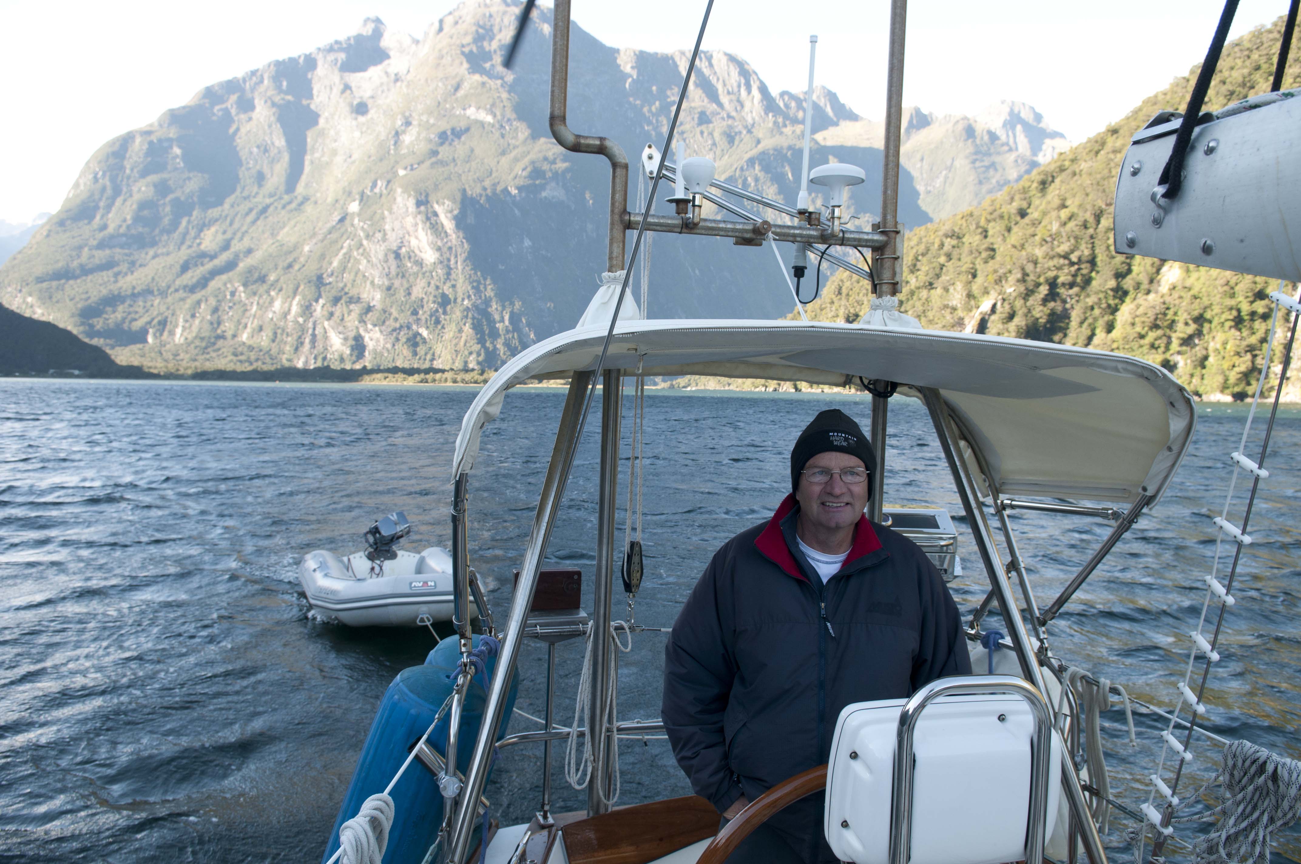
47 12.405S 167 37.004E Evening Cove April 11 – 14
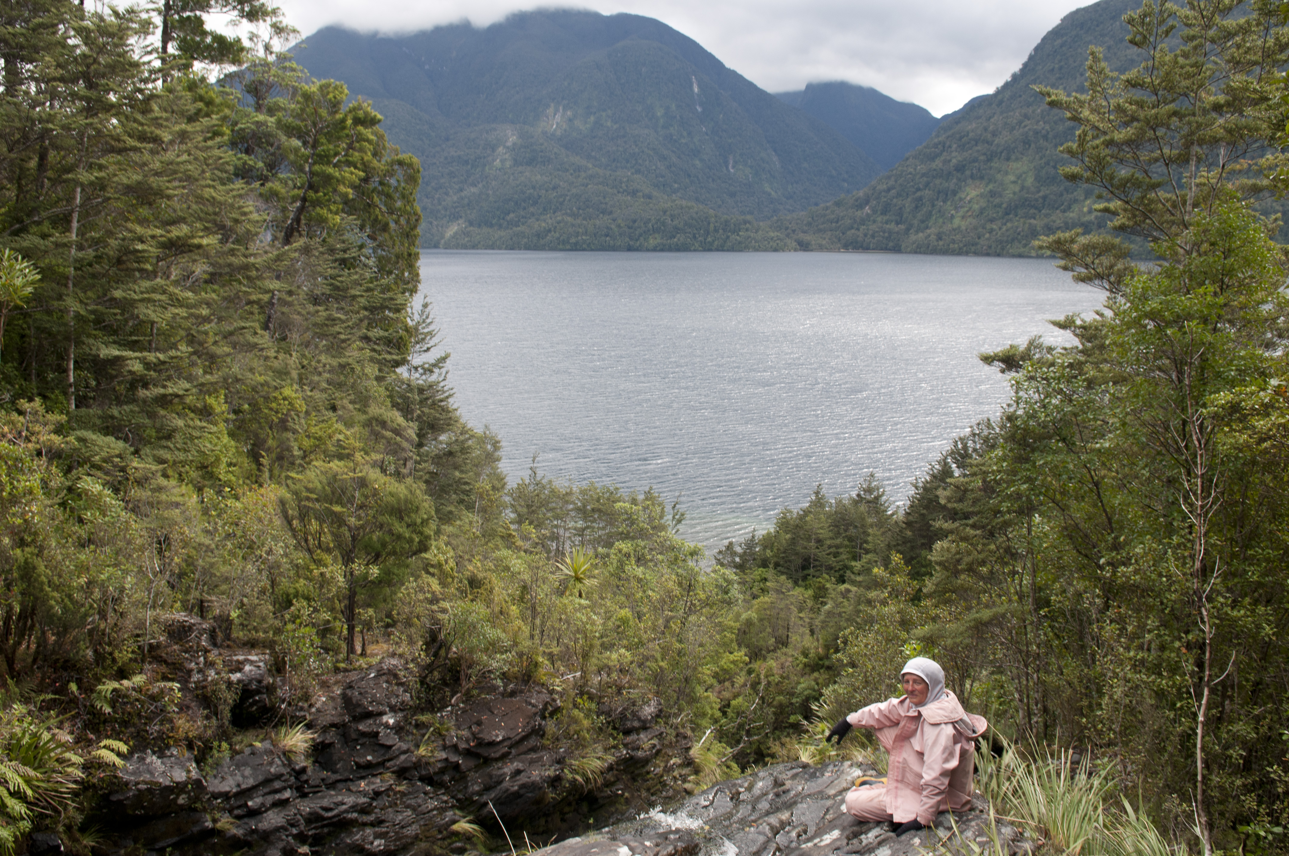
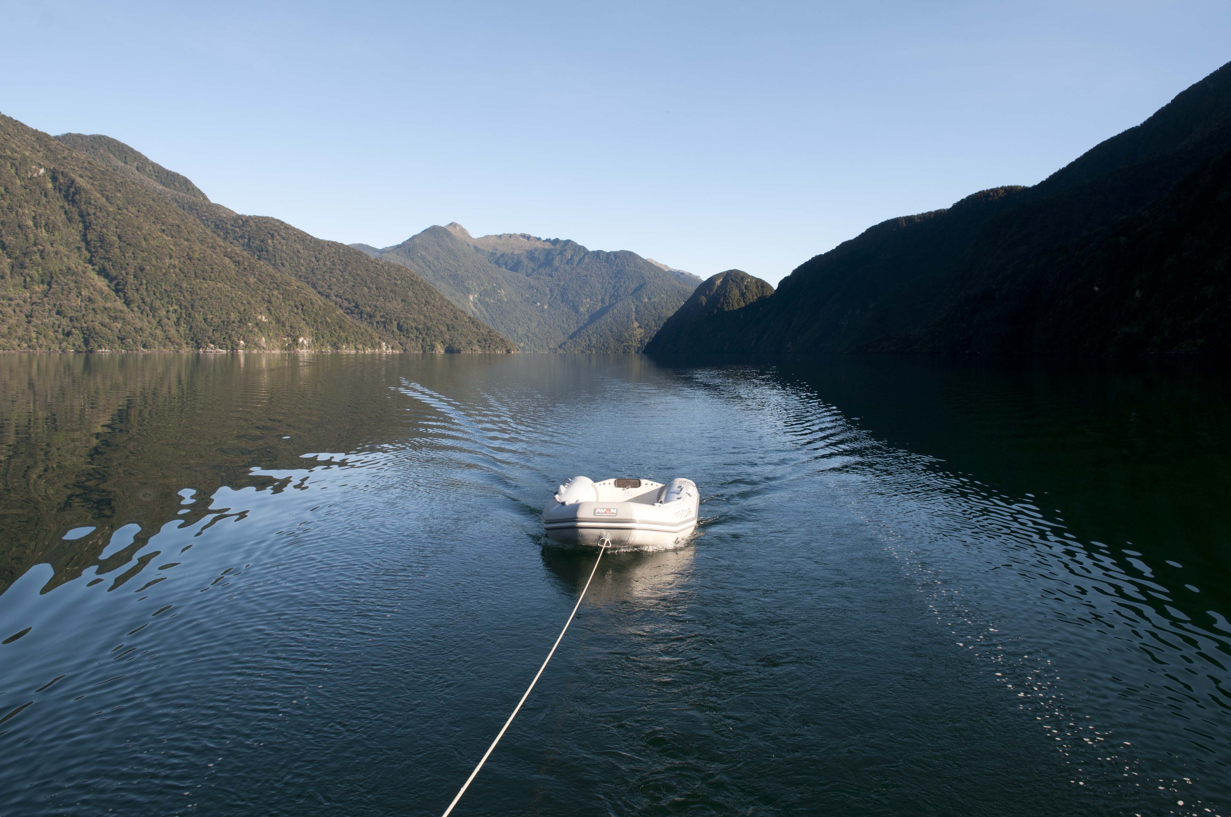
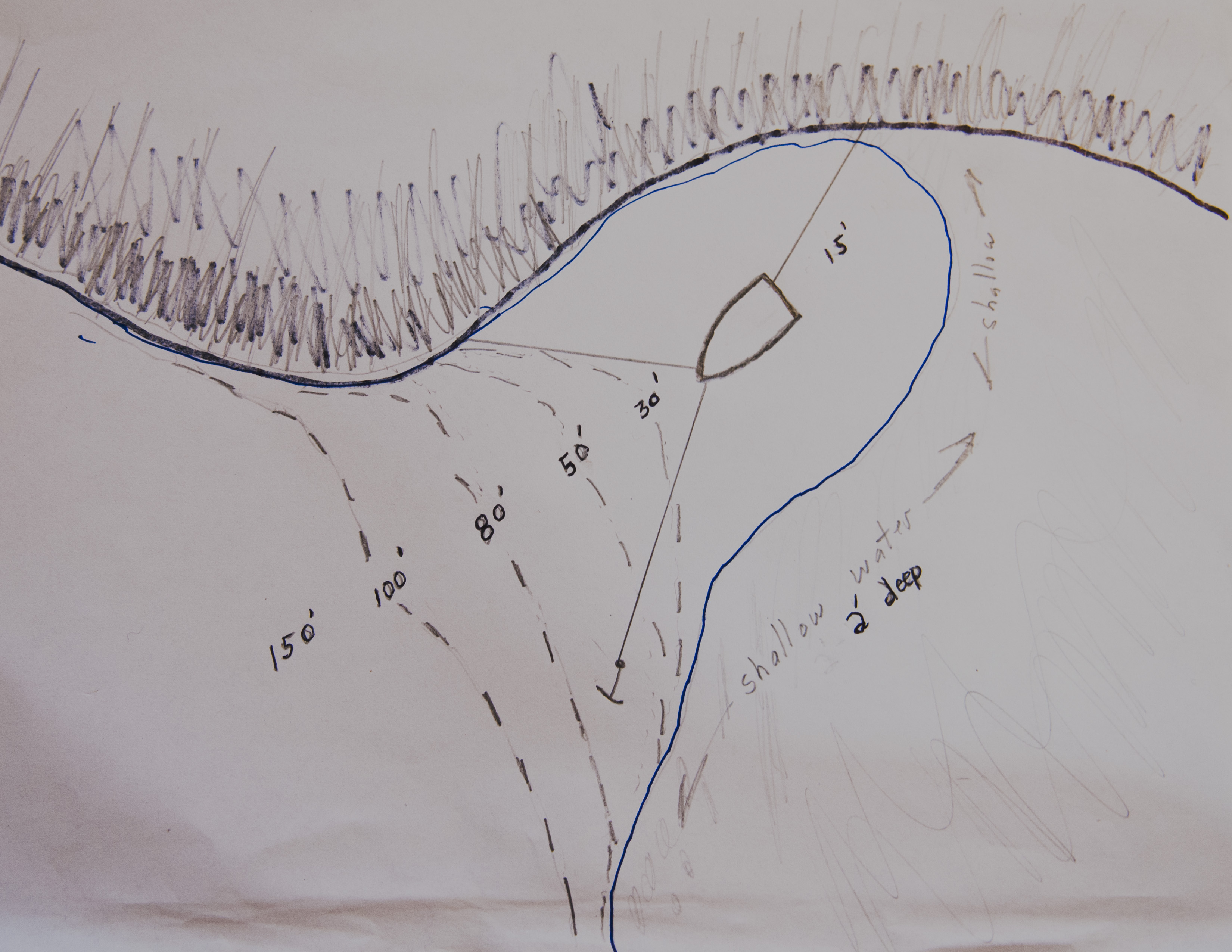
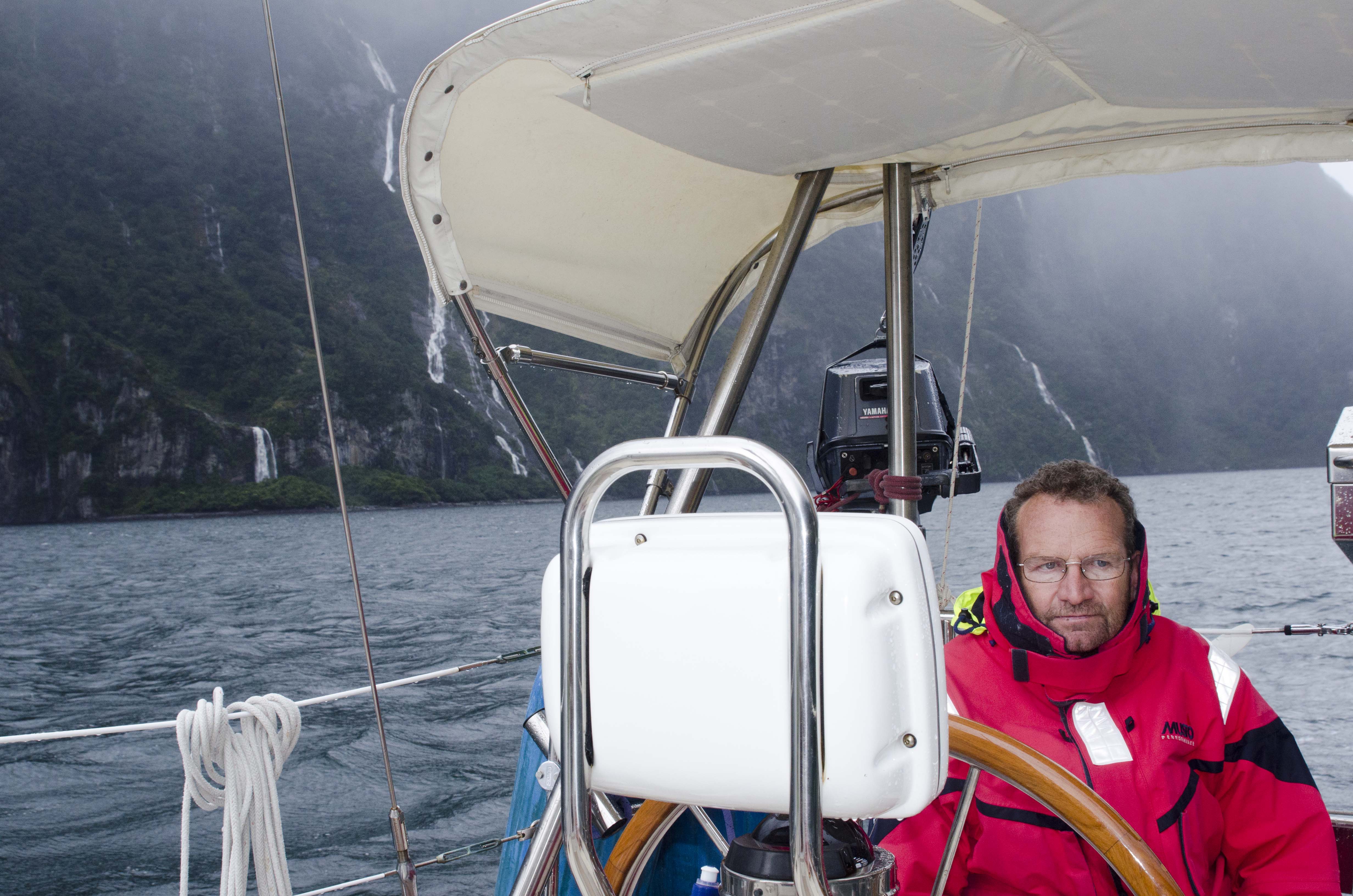
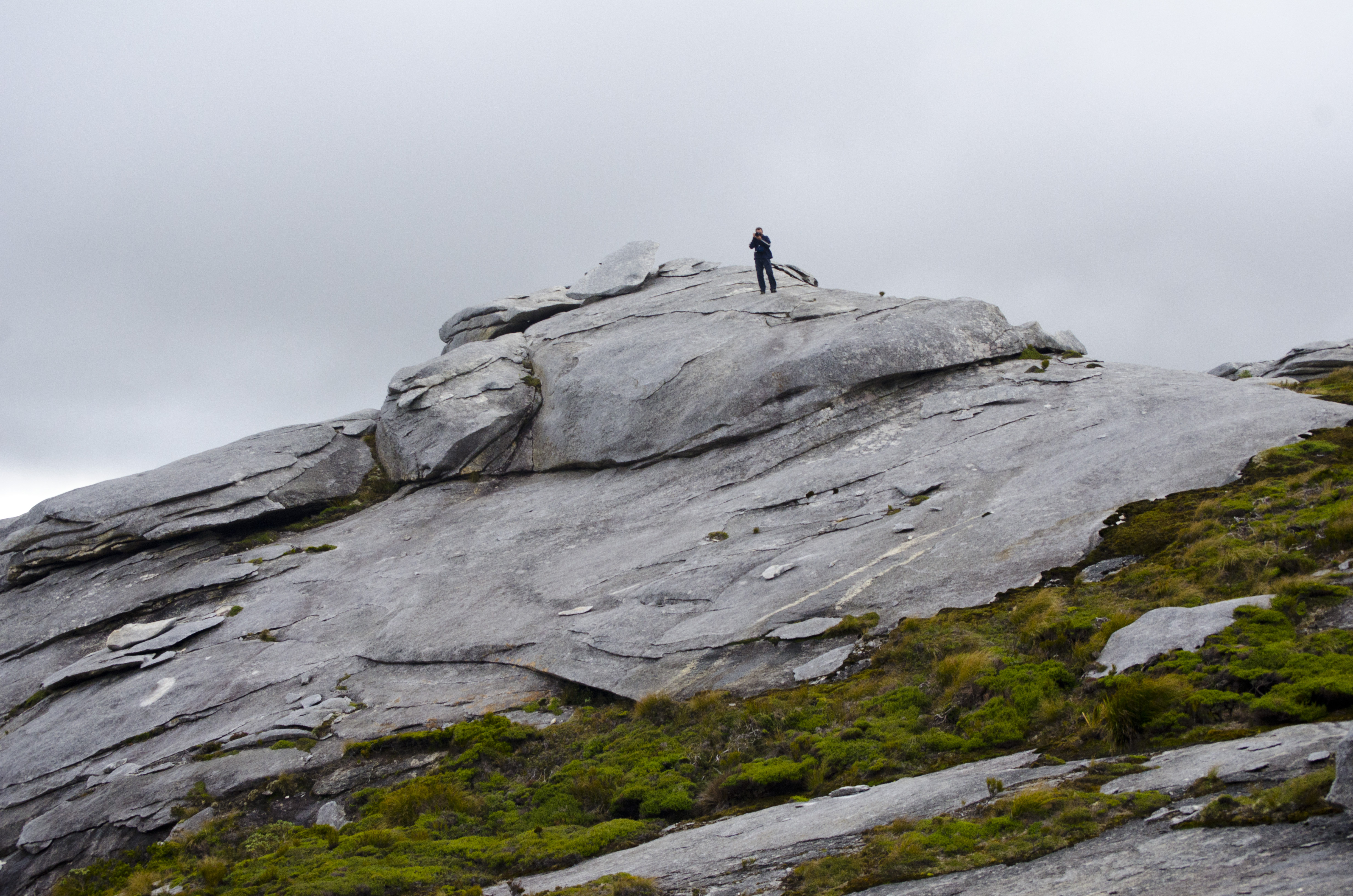
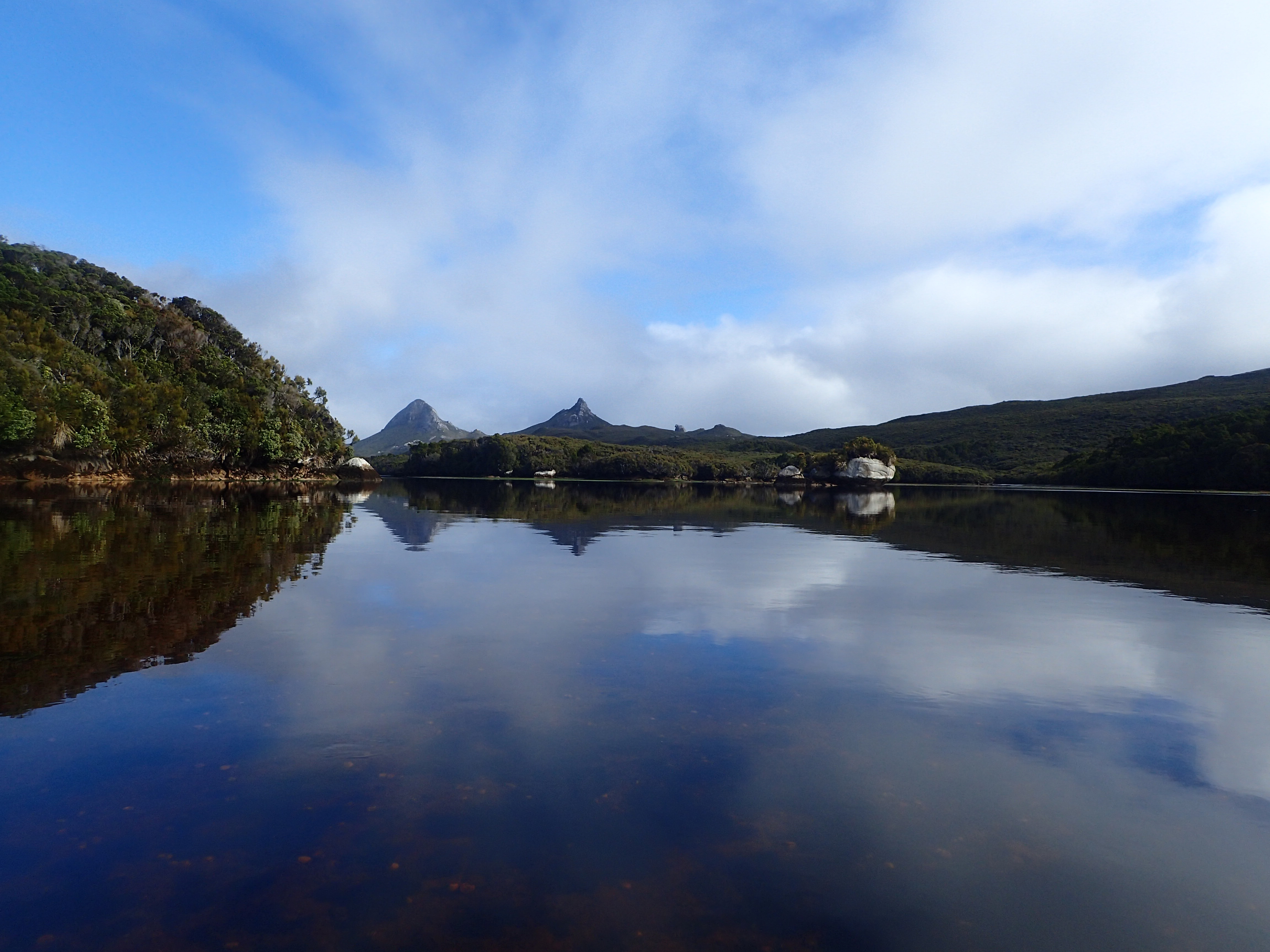
It was a stunning, flat calm motor to Evening Cove. The guide indicated that there were 2 all-weather anchorages in the cove, which as per usual required an anchor and a stern line to shore. The cove provided a good base from which to tackle tramps to some peaks that seemed to have some interesting rock formations.
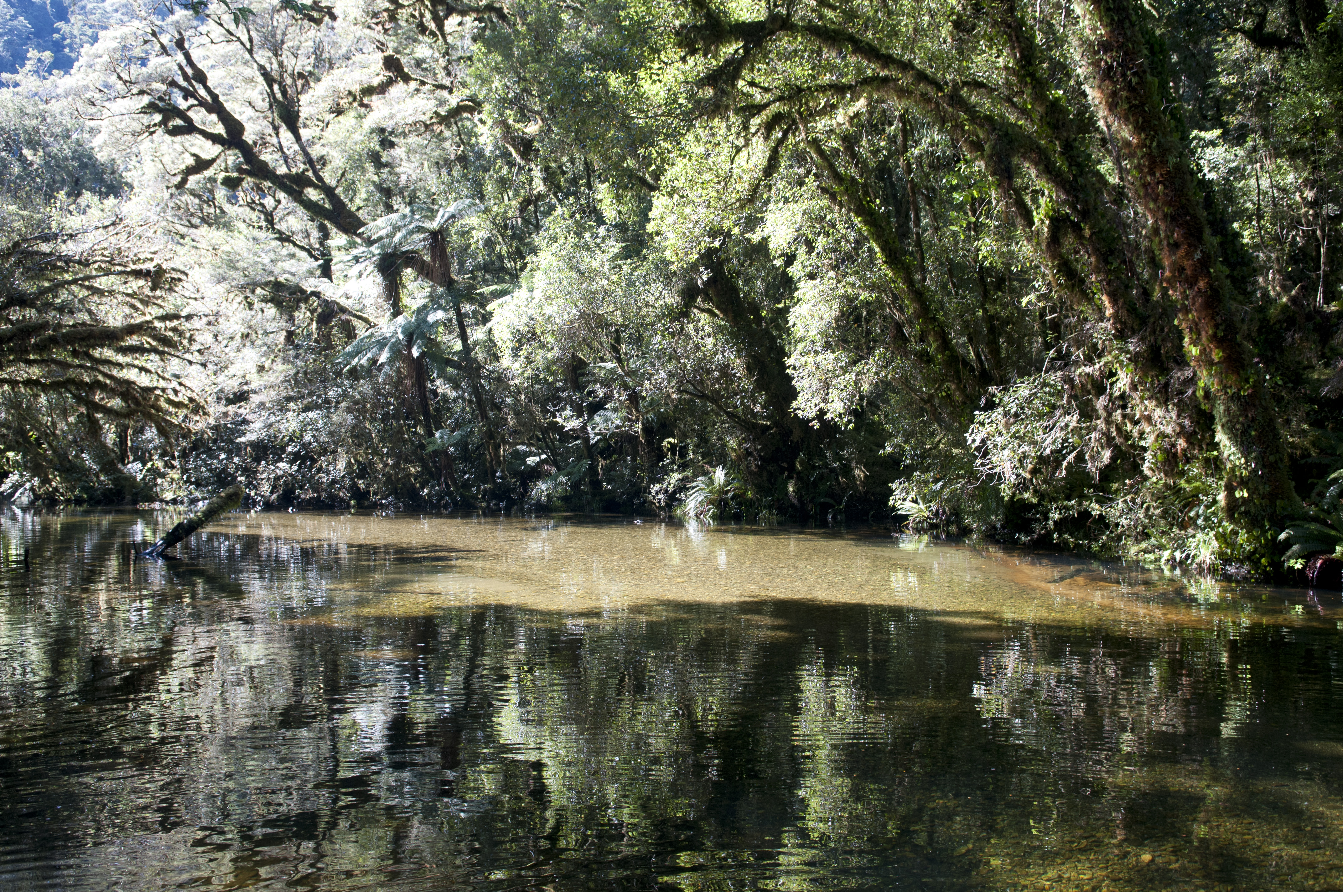
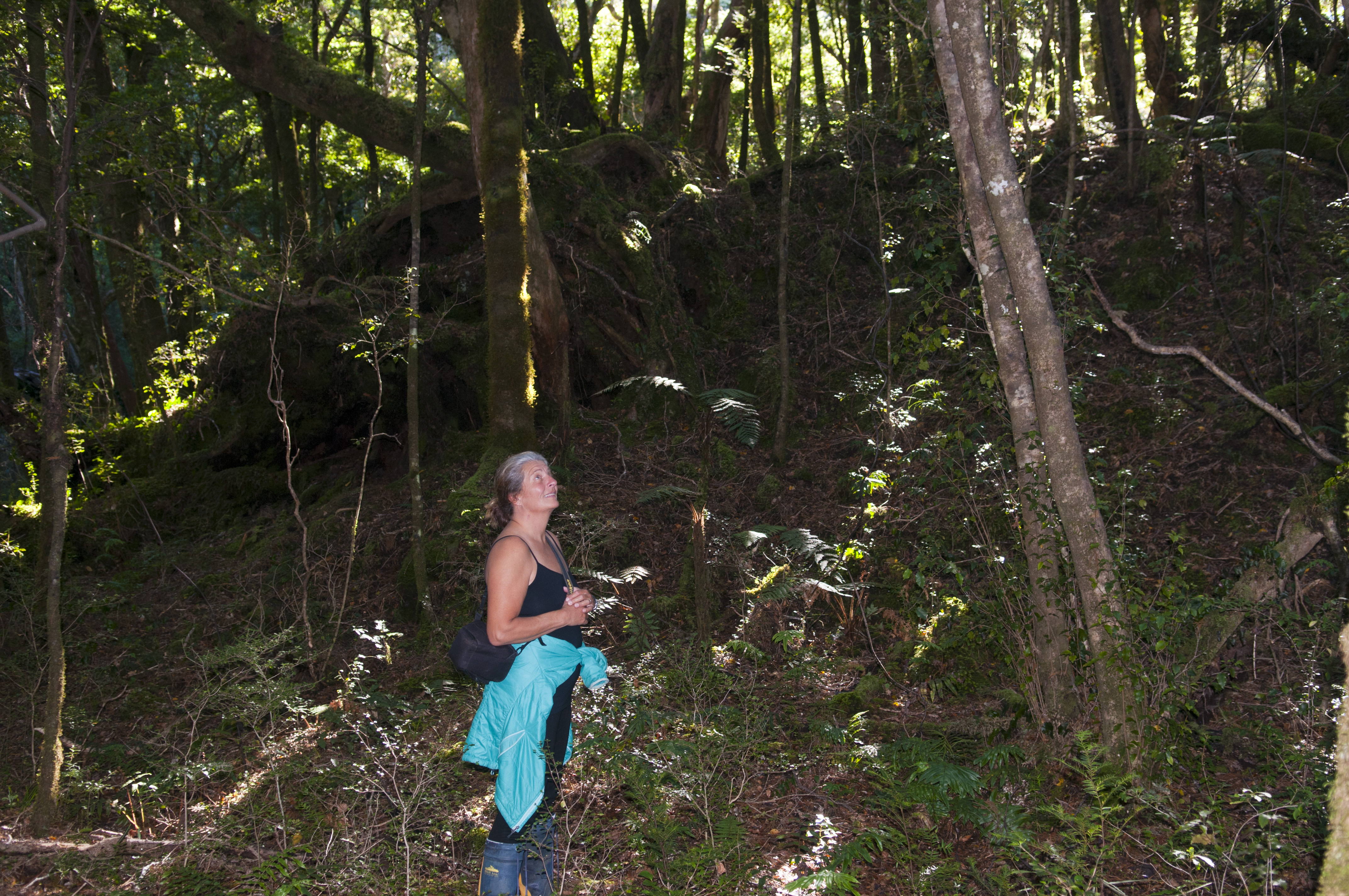
The beginning of the track was well used and had some markings showing us the way but once we were out of the arboreal terrain, the track markings disappeared. We were on our own and had to make our way through the shrubs while searching for some rock piles here and there that could be a possible track marking. Luckily, we were doing this hike during a dry spell otherwise we would have had to tramp through some squelchy bog land. It looked like Newfoundland blue berry picking terrain but there was not a berry to be found. After 2 hours of tramping we finally made it to the top for a spectacular display of Mother Nature’s rock art gallery. Well worth the hike. We couldn’t stay too long as it was getting near sunset time and there was no way we would be able to get back to the boat in the dark. It was also cooling off very quickly and the idea of spending a night in the bush didn’t appeal to me. Denny’s keen sense of direction got us out in the nick of time. It was comforting to see Landfall’s anchor light during the last leg of the hike.
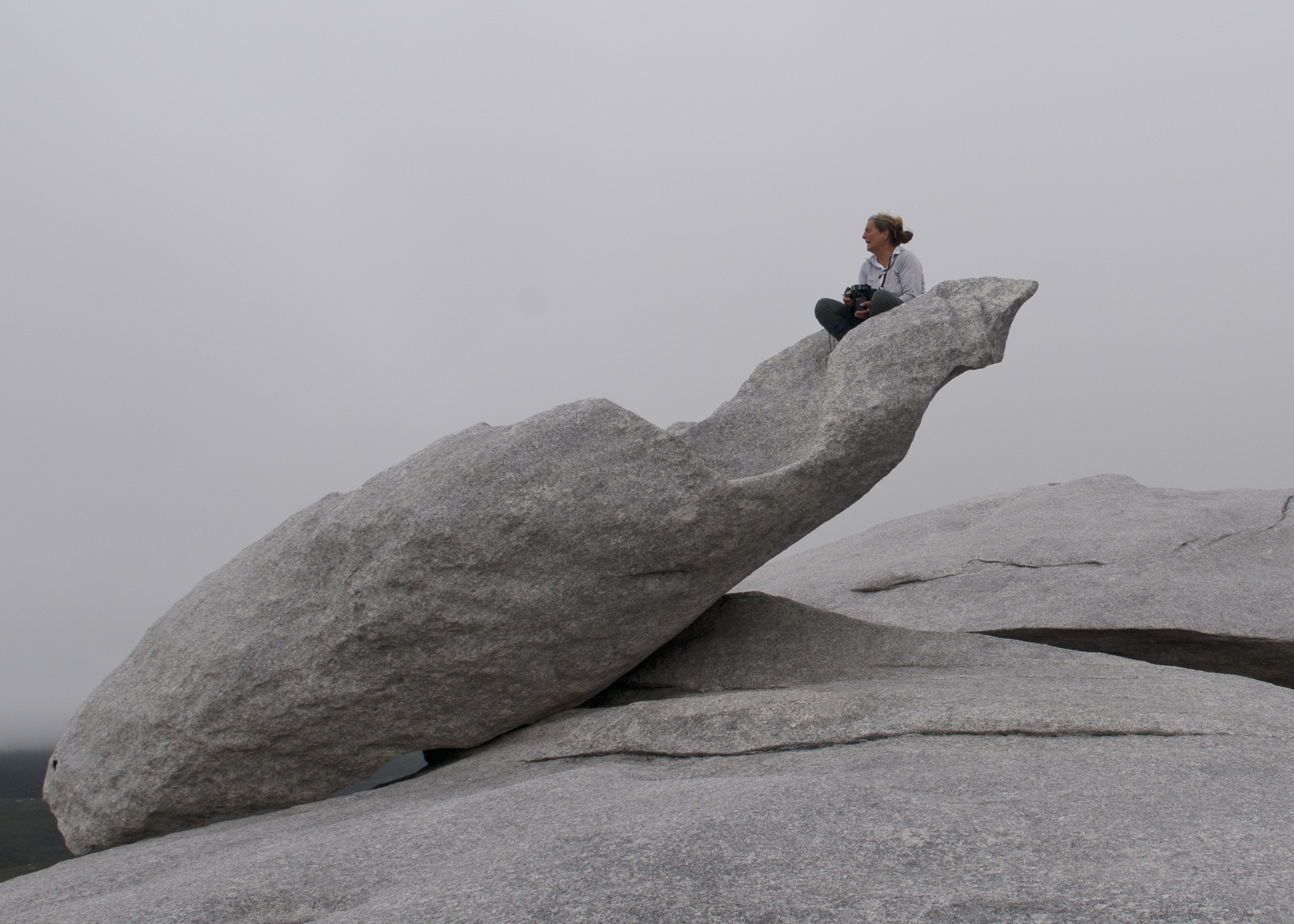
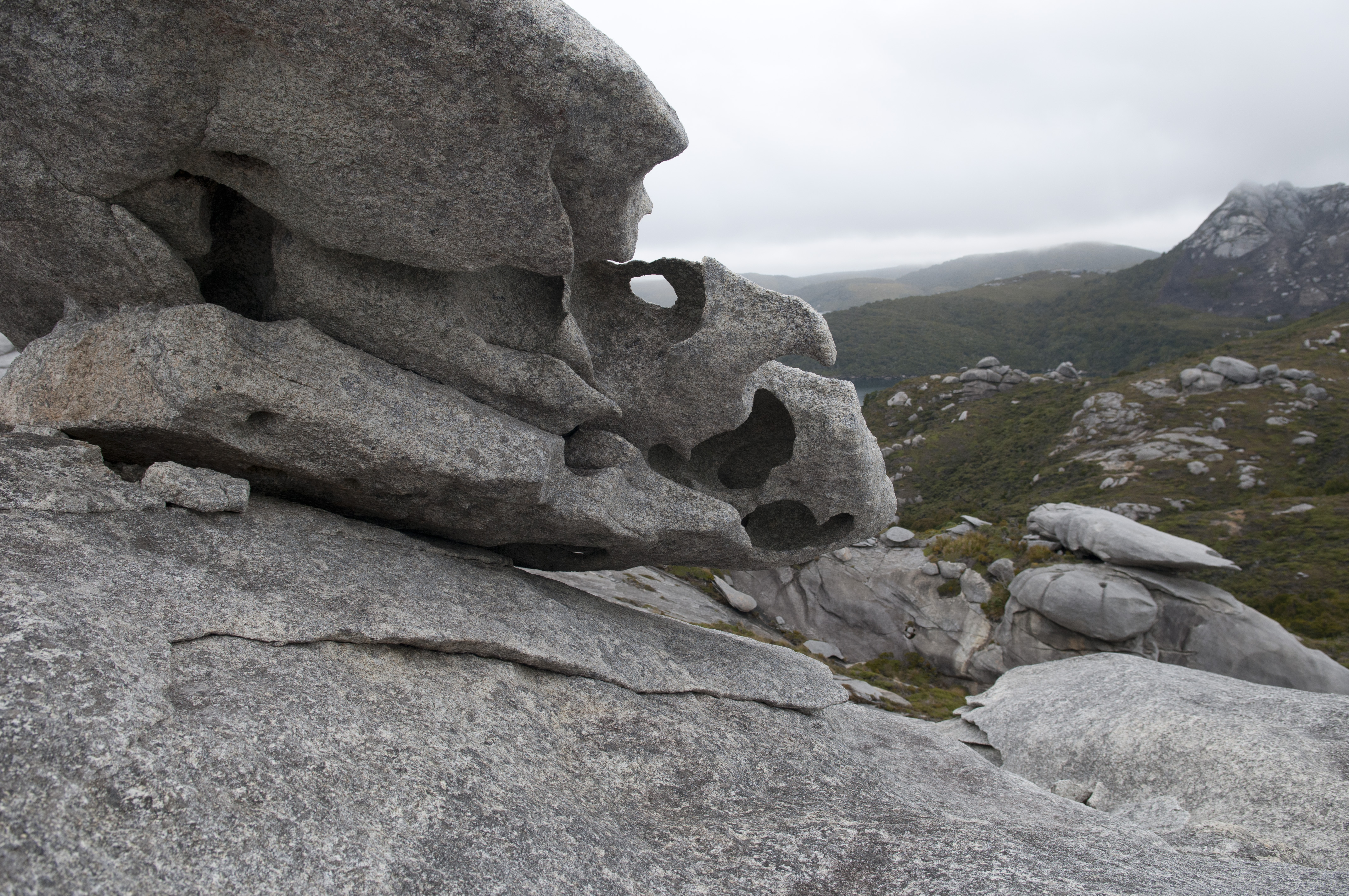
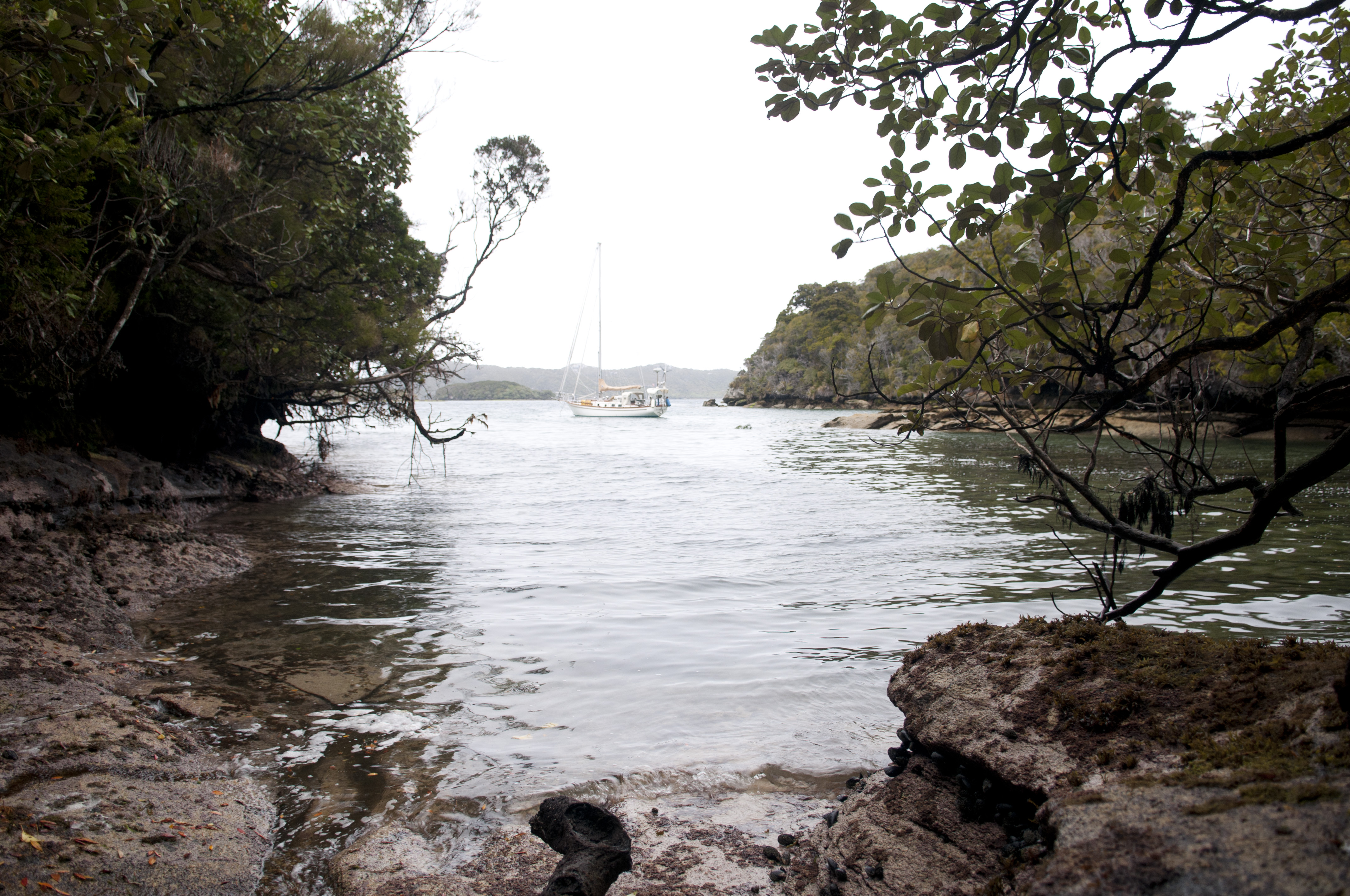
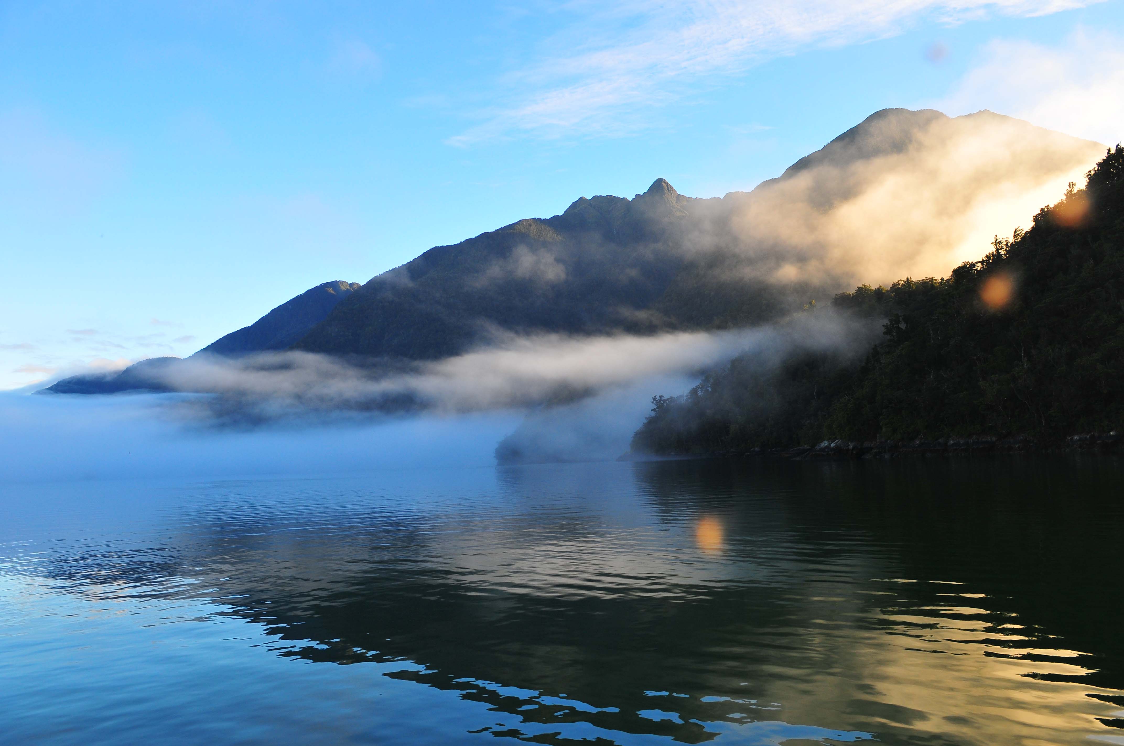
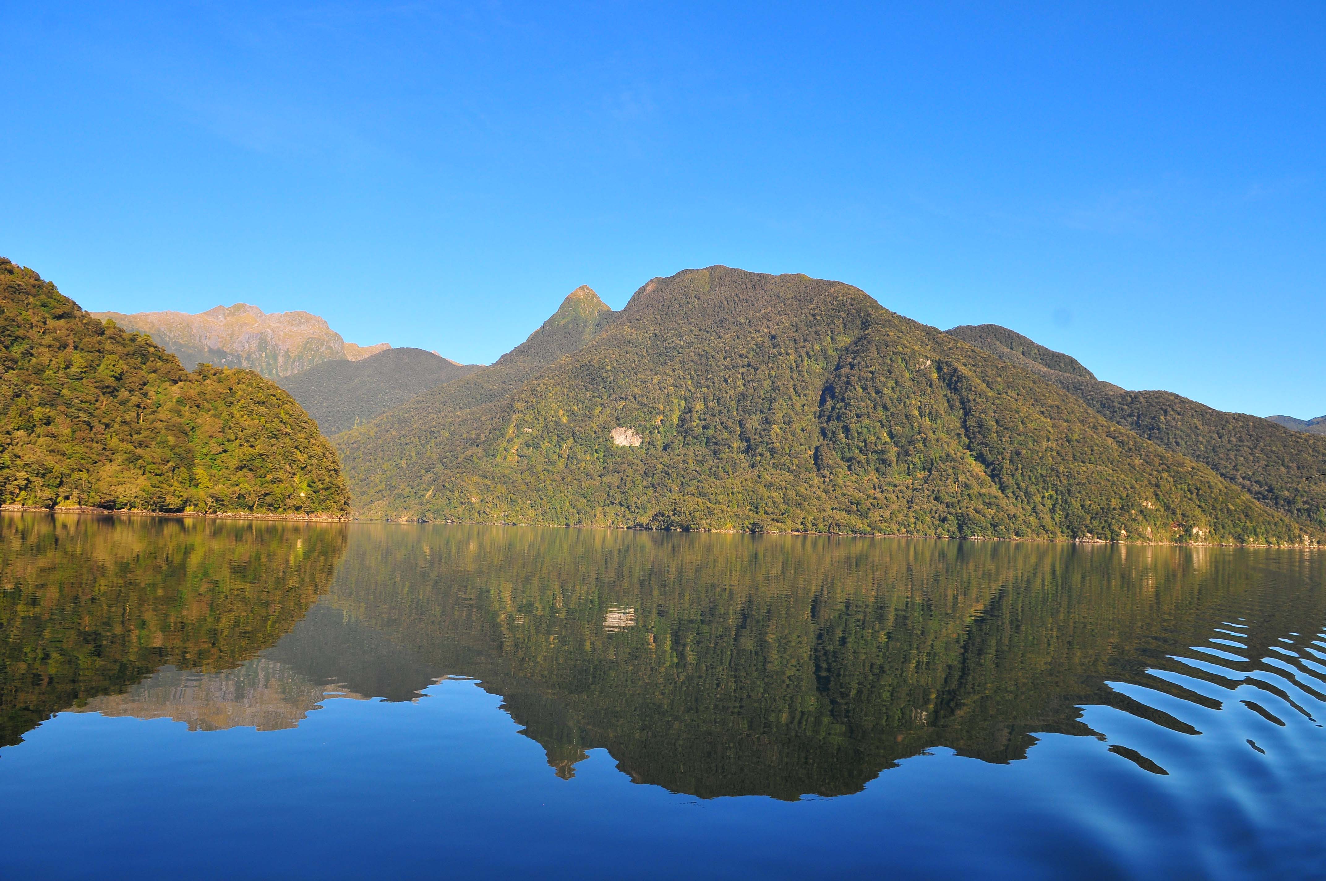
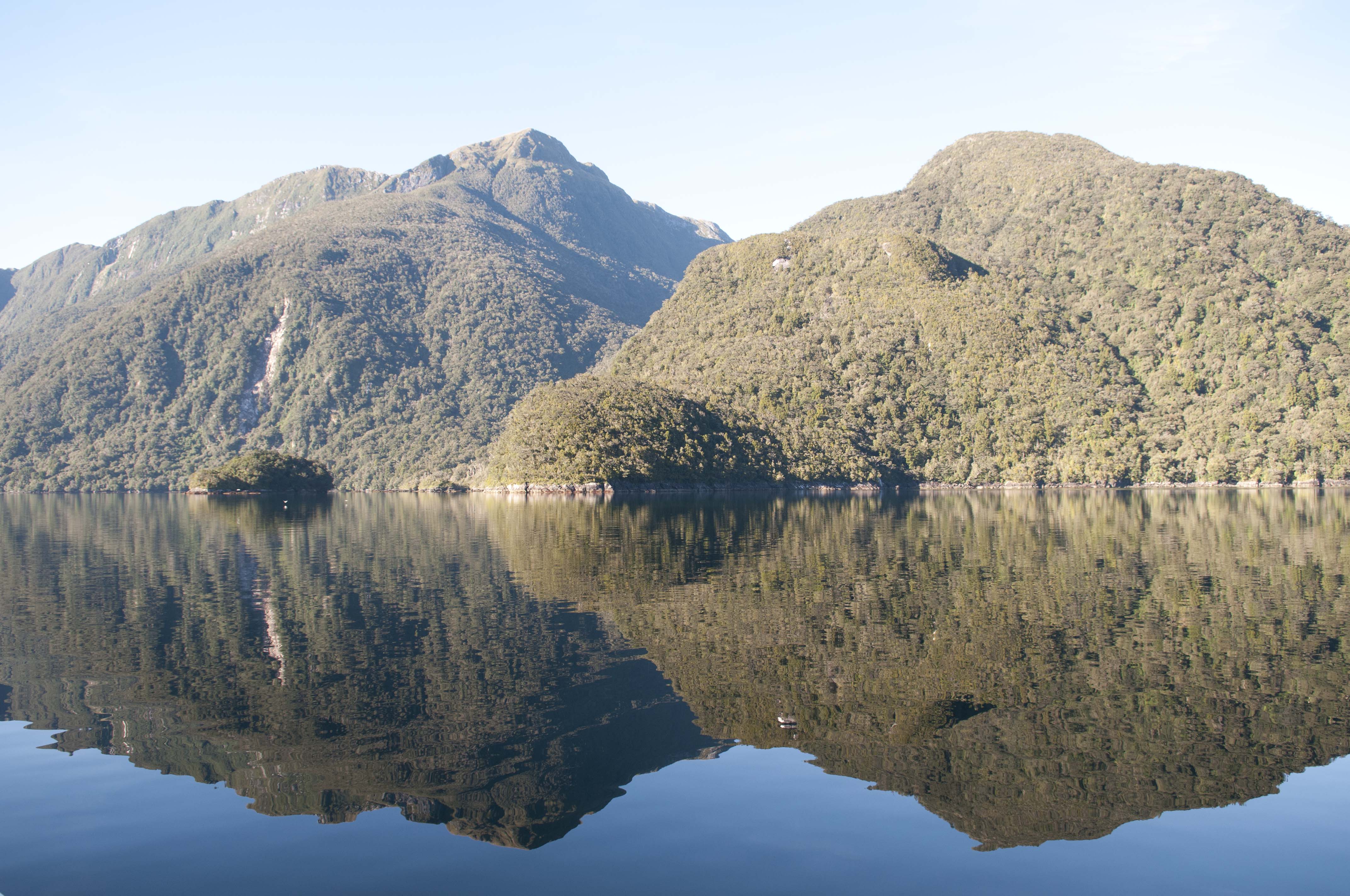
Evening Cove
While in Evening Cove we got blasted by a gale wind. The guide may have described the anchorage as safe for any wind but we weren’t feeling very secure. As the wind started to slowly escalate from 10 to 50 knots we decided that more shore lines were in order. By the time we had consistent 50 knot winds we had 1 stern line, 2 bow lines and our anchor out. We felt somewhat safe but the sound of the howling wind all around us was a little unsettling. We had to endure 2 days of the foul weather but we had lots of movies, books, snacks, food and heat thanks to the unlimited supply of power produced by our wind generator.
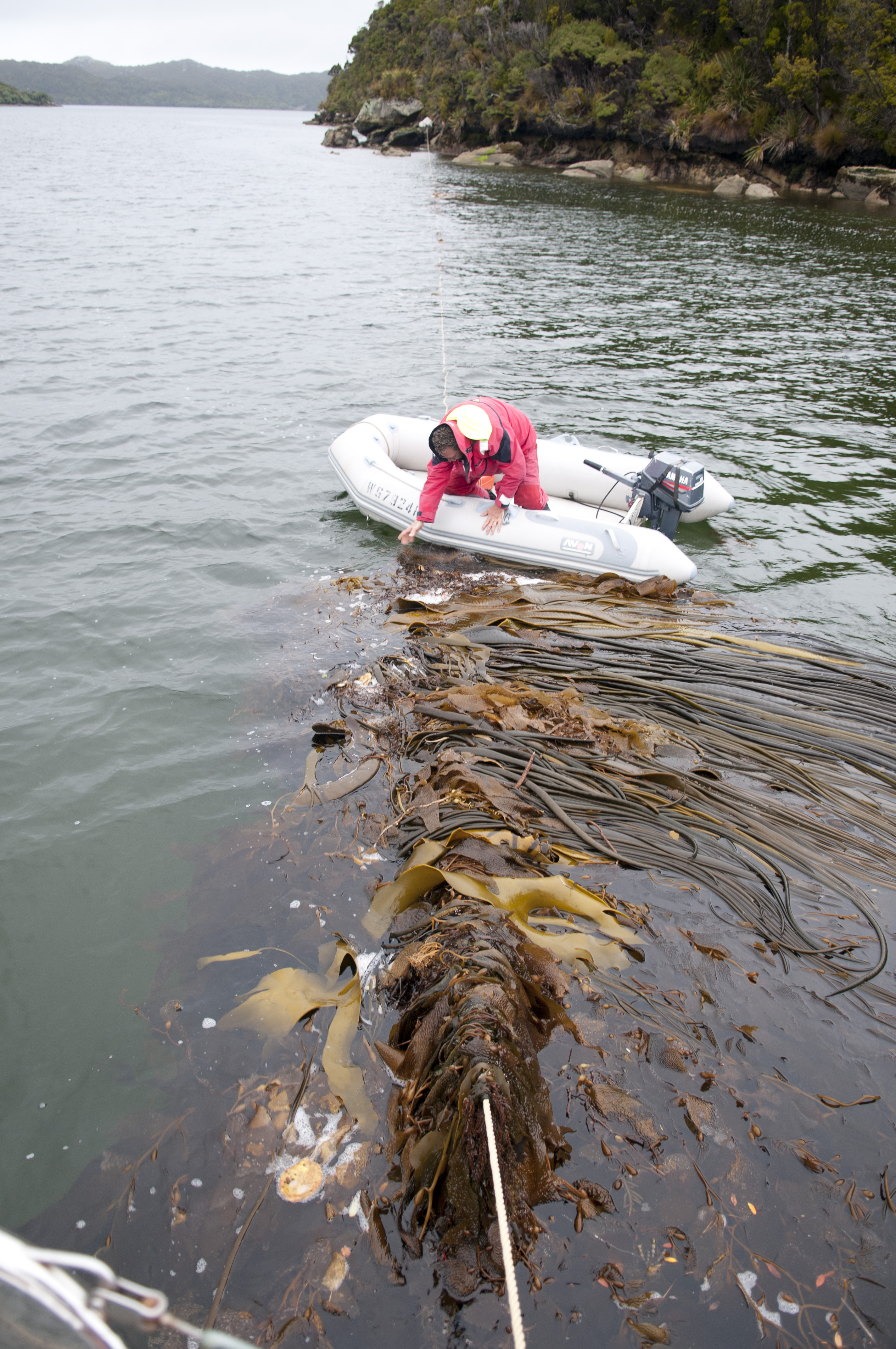
Collected a little kelp.
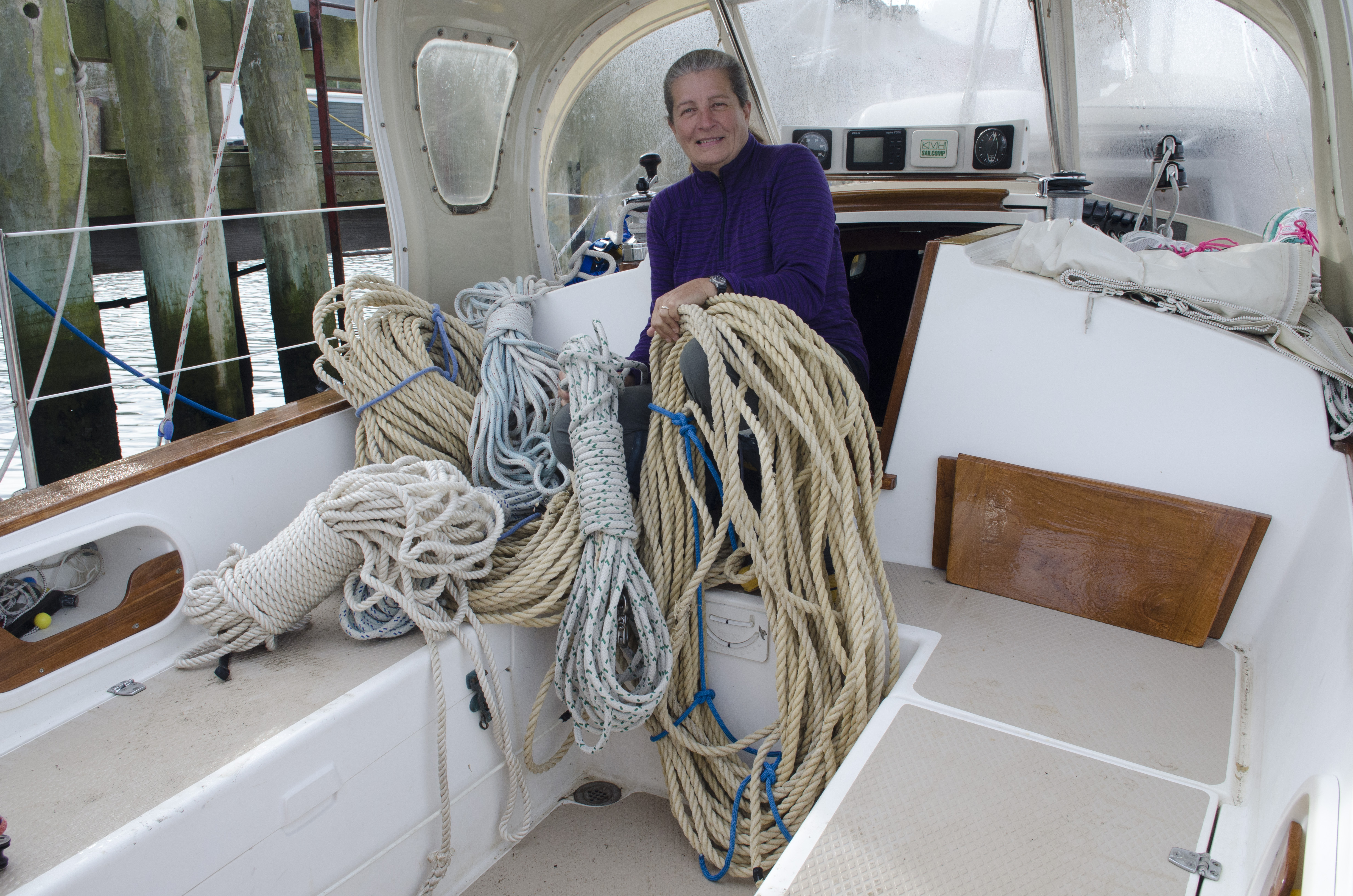
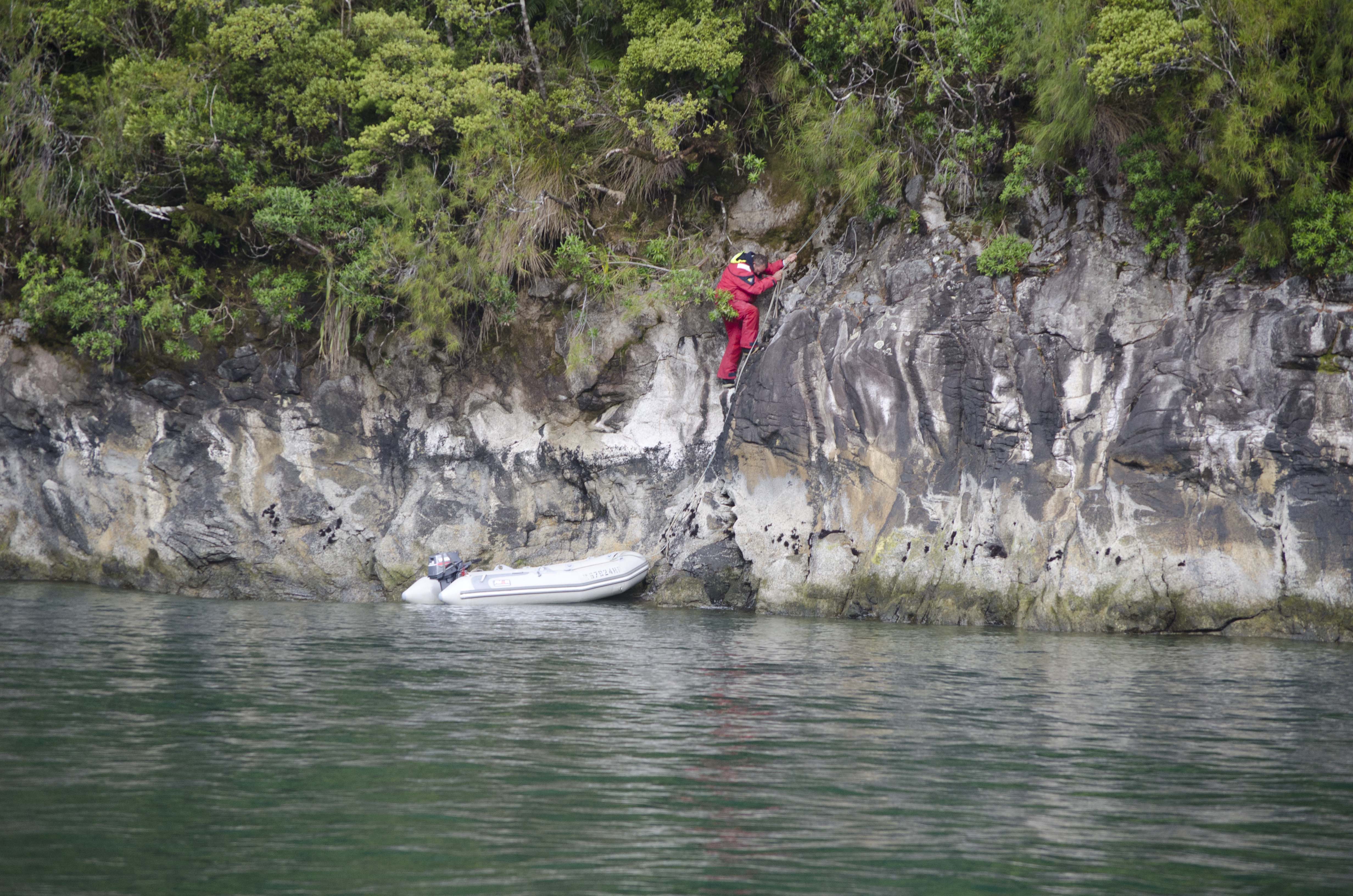
When it was finally time to make our move to the next anchorage we were prepared for the additional work we would have to wind up our 100’s of feet of shoreline. But what we weren’t prepared for was the amount of seaweed that the lines had collected. Denny had to sit in the dinghy with a steak knife and literally hack the seaweed off which took more than an hour.
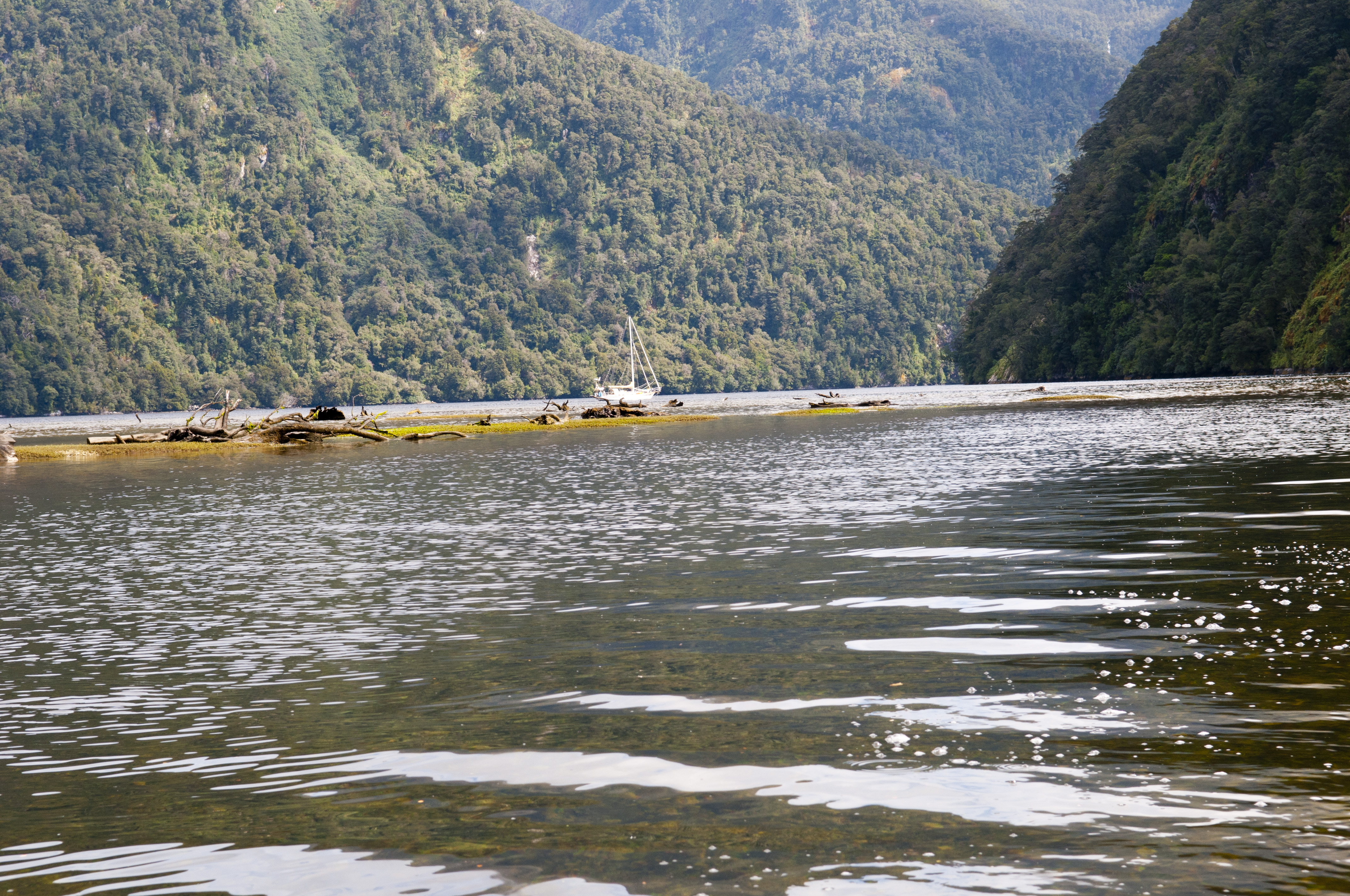
47 11 689S 167 38.345E – Seal Creek April 14 – 16
It was Good Friday so we were anxious to get settled into our new anchorage and then head out to do some fishing for Blue Cod for our Good Friday ‘Fish and Chips’. Seal Creek anchorage required Denny to navigate through a narrow passage. I was on the bow and had to make sure that there was a clear passage. We made it to our anchorage spot with very little room under the keel. It was a swing anchorage so it was refreshing not to have to use any shore lines.
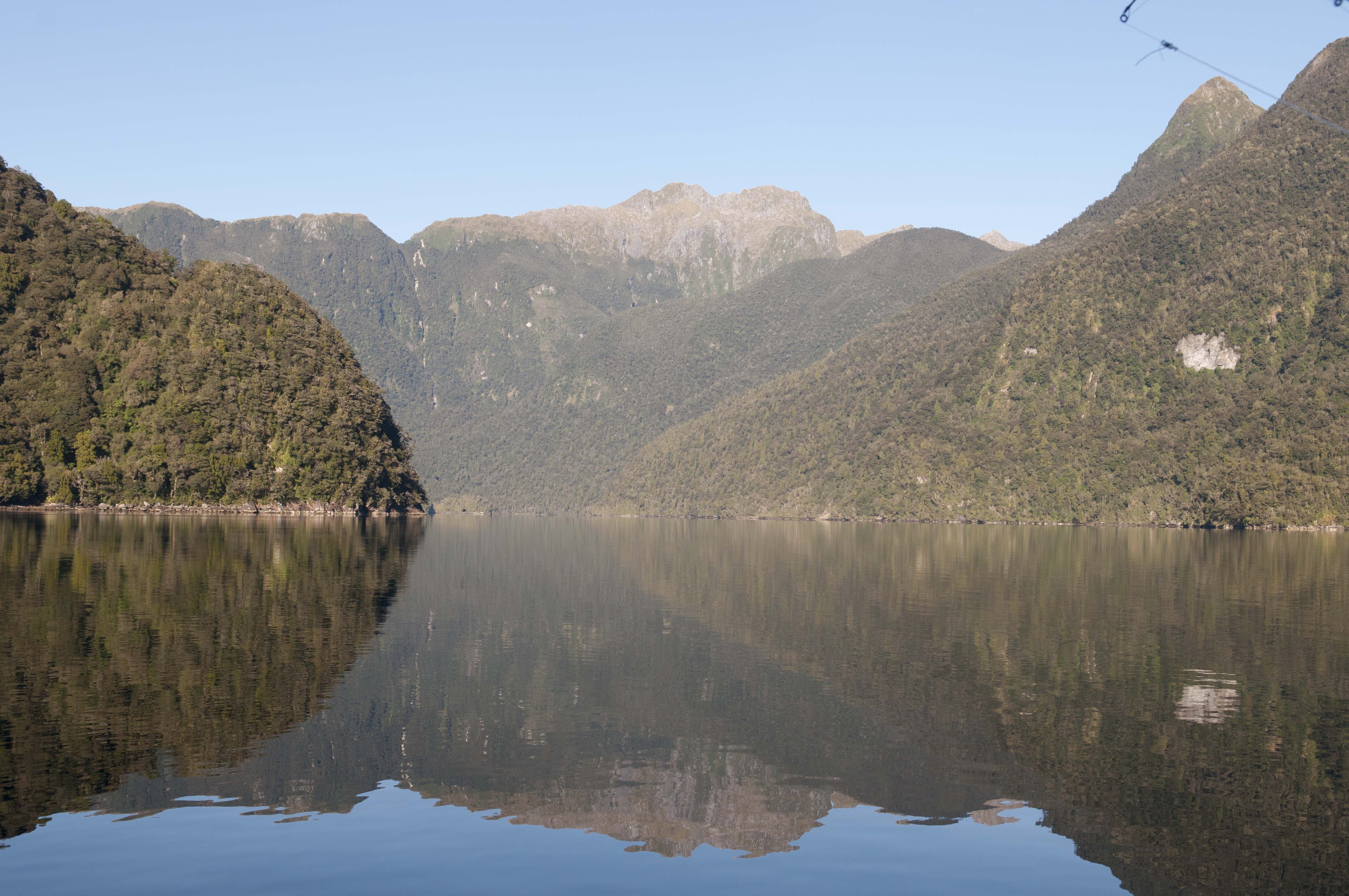
Seal Creek
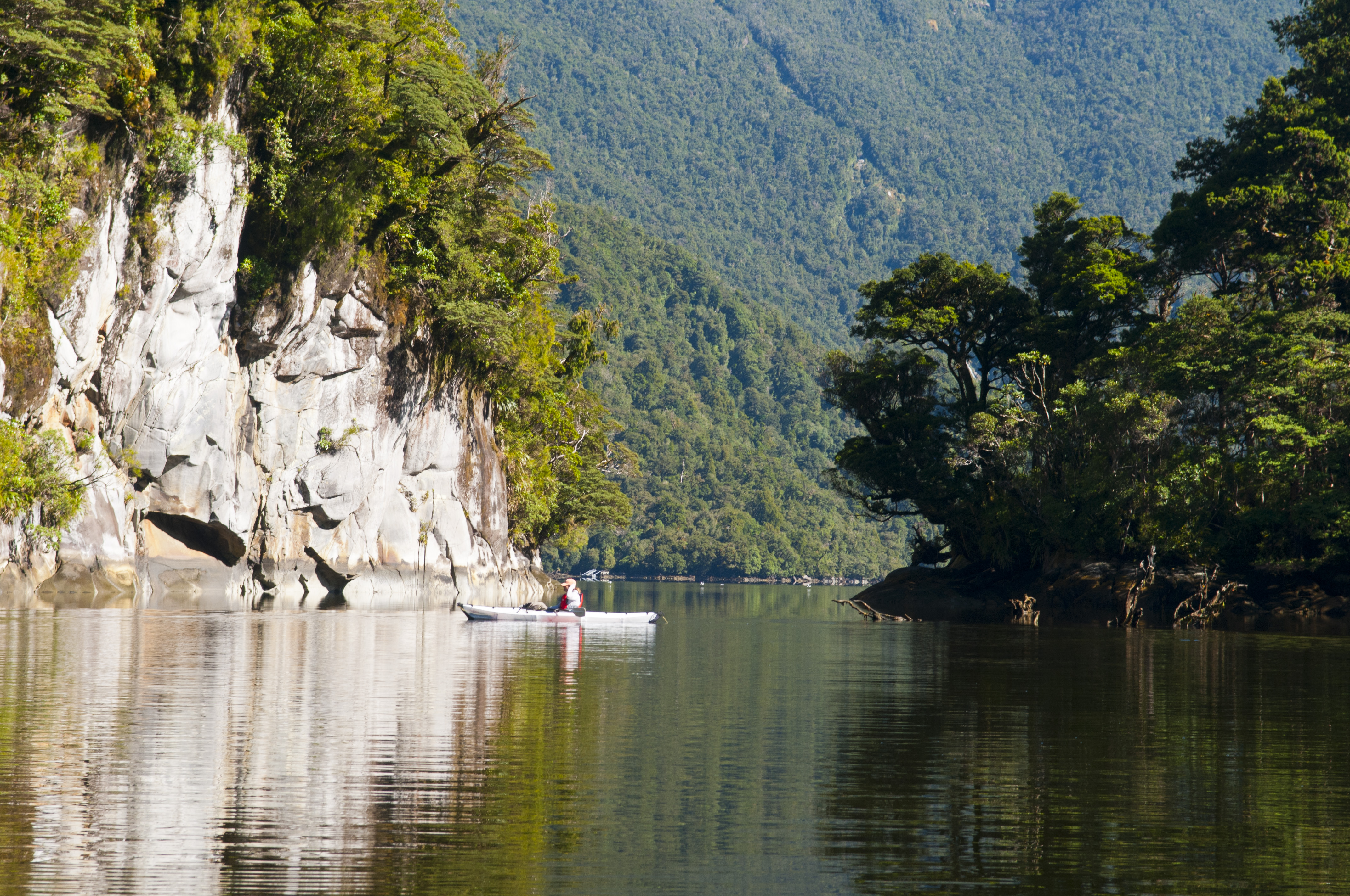
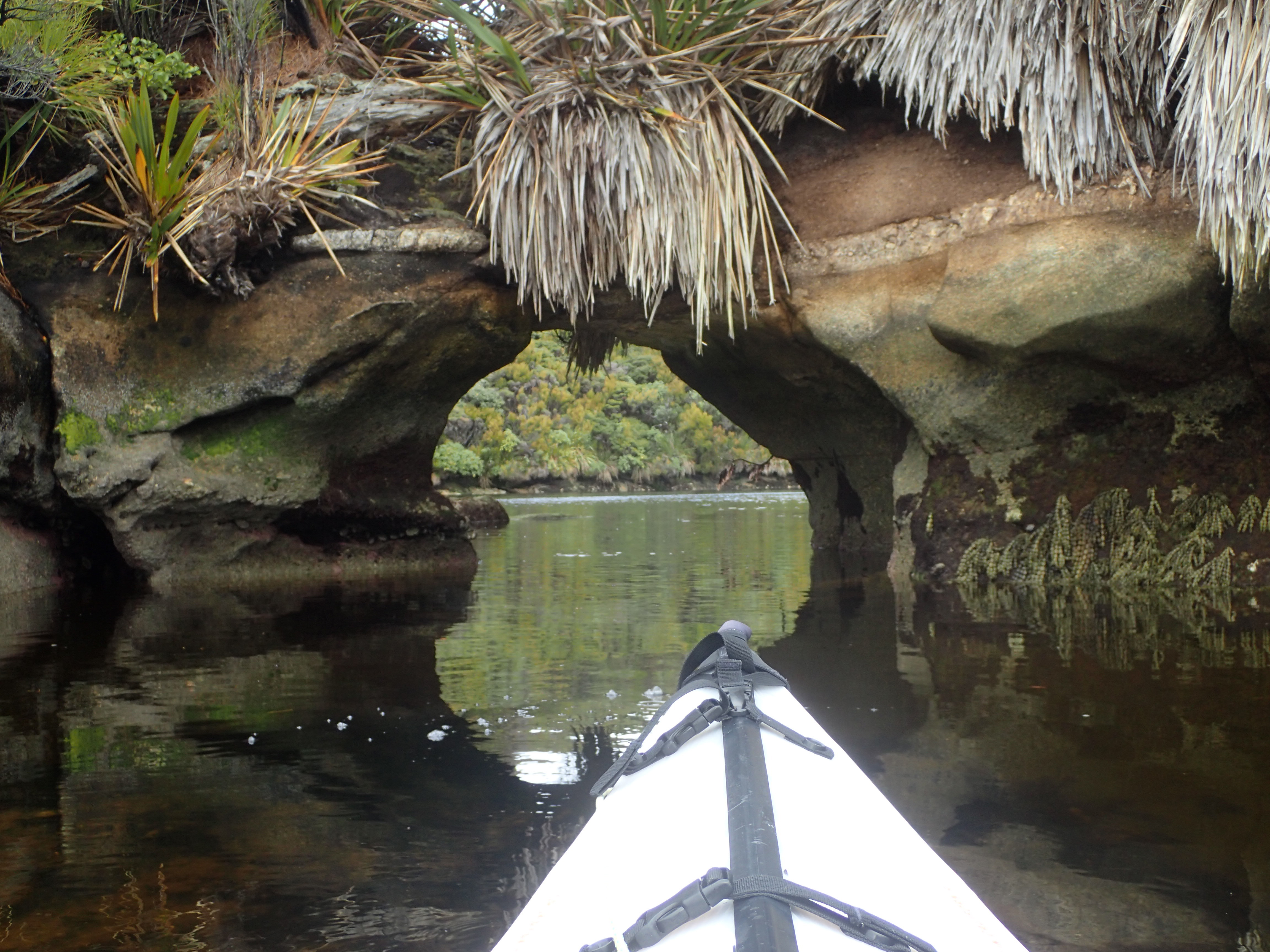
This was a beautiful spot for exploring by dinghy and by kayak.
We fished for our cod outside of the cove and met a couple in a power boat. They stopped to say hello and wondered how we had survived our last anchorage. They were vacationing at a nearby DOC hut and had seen our boat swaying from gunnel to gunnel during the gale winds. The huts are available for people interested in diving, fishing and hunting. We had a fine Easter feast of freshly picked cockles, mussels and cod bites. And for Easter Sunday I treated Denny to freshly baked cinnamon rolls. We missed our family and friends and managed to make a few satellite phone calls to squelch some of the homesickness that the Easter holiday gave us. Time was getting short so we decided to make the move to the North arm of Port Pegasus.
![Figure-1_-MetService-coastal-marine-areas[1]](http://saillandfall.com/wp-content/uploads/2017/05/Figure-1_-MetService-coastal-marine-areas1.png)